Riding the Pamir Highway and Wakhan Valley by Motorcycle

Update 64 (June 2024)

Murghob to Dushanbe, Tajikistan

I was in a new country and needed to get organised.  Sometimes I would try to find some local third party insurance for my motorcycle, but this really wasn’t that sort of situation.

Finding cash was not so easy.  I found two “banks” in Murghob.  My card did not work at either.  And only one could exchange USD for Tajik Somoni.  But eventually I had enough Somoni to get by with.  There is very little to spend money on here anyway.

I found some petrol (benzine) for the motorcycle.  This region has a bad reputation for fuel quality, but I had no problems.

My last job was a SIM card.  I found myself at the town bazaar (market) which is a conglomeration of old shipping containers.  One of them was a Metafon reseller and I bought a 30 day SIM, with about 50GB for 10 USD.

I also bought some water and a snack from a small shop.  I was mobbed by half a dozen 3-8 year olds.  They had me surrounded and the mothers started joining in, taking photos.

Little kids in the Stans love foreigners on motorcycles.  They will start waving like crazy as you approach and of course you wave back.  It seems to mostly wear off after about 10 years old.  But all the locals will give you a casual wave or nod as you pass through their village.

It was about 10am by the time I left Murghob.  There is a military checkpoint just outside town where I had to show my passport, visa and GBAO permit. It was straightforward and I was through in 10 minutes.

A couple of hours down the Pamir Highway is the turn off to the Wakhan Valley.  You can either continue along the main Pamir Highway road to Khorog, or turn left down the Wakhan Valley Road that follows the Panj River along the border with Afghanistan, eventually also arriving at Khorog.

I did think twice about taking the Wakhan Valley.  The Australian Government has a Do Not Travel advisory for the area along the Afghanistan border which also means my travel insurance would not cover me.  Plus it started out as a really annoying corrugated road and I was feeling just a little lazy.  But I snapped out of it.

Just after the turn off to the Wakhan Valley.  The road was annoying at times with some bad corrugations.

I met one other person on this section, a solo motorcycle rider from Spain.

I was about to meet an icy blast.  I was still above 4,000 metres.

This intersection is where you turn right and join the Panj River.  There is another military checkpoint just in the distance.  This officer insisted on copies of my documents and permits which I had fortunately.  All done in a few minutes.

Through the checkpoint and on my way along the river and border.  Afghanistan on the other side of the Panj river.

The track is on the left according to my Locus Maps app.  The track is on the right according to Google Maps, but that one was deep sand but I suspect people have been taking it.  Google Maps strikes again…  It’s fine for finding something in a city but don’t use it as your first choice in this type of situation.

It was starting to get late.  I was on the lookout for camping spots but did not see anything that is accessible, back from the border and not all rocks.

Looking back on my progress.

Looking back again.

Afghanistan.

Looking ahead, I still had some daylight left.

Looking across at Afghanistan.  The area is called the Wakhan Corridor and is a narrow strip of land that Afghanistan has between Tajikistan and Pakistan.  Where I took this photo the corridor is only about 20-30km wide, so some of the mountains in the background may even extend into Pakistan.

It is interesting that K2, the second highest mountain in the world is only about 350km away to the south east, as the crow flies.

The small village of Langar was the first sign of civilisation.  It was about 7pm and after a little searching I ended up at Homestay Mulloniyoz.

Just as I was checking the room there were two large blasts outside in quick succession.  The host just looked at me and said, “Taliban”.  I didn’t ever work out what they had been doing, but the family just continued along with their evening. 

An English cyclist I met earlier, had met some campers in this area that said they had heard the Taliban shooting one night.

My bed was comfortable and the night passed normally and I headed off in the morning after a hot shower and breakfast.

I bought some good quality fuel from a depot next to a grocery store about 5km from Langar.

The area became more populated after Langar.  I would regularly see small patrols of soldiers and watch towers.  I didn’t notice any evidence of military on the Afghanistan side, just occasional villagers going about their day, or cars and motorcycles on the rough mountain road alongside the Panj River.  I believe there is a spectacular view behind all of those clouds.

Coming into one of the many Tajikistan villages.  Afghanistan in the background.

Afghanistan building.

Afghanistan village.

The Panj River has built into quite a torrent now.

It was a fairly uneventful ride into Khorog.  I found a nice modern hotel and decided to stay there for two nights. 

One of the local attractions is the Saturday Afghan Market.  It is a market held about 15 minutes outside of town by the border.  Afghanistan and Tajikistan residents can attend the market.  Typically the Afghans are there as the stallholders it seems.

The armed military was keeping a close eye on things but it was really just a normal market.  It was a bit too normal.  The internet had played it up a bit too much.  Unfortunately there were little to no handicrafts and most was just factory made items or a few veggies.

I caught a taxi out to the Afghan Market on the Saturday morning.  The driving was the scariest part of my day.

Later on I visited the bazaar in the Khorog town centre, it was probably more interesting.

Khorog Bazaar.

My Sunday morning ride started routinely.  More Afghanistan villages.

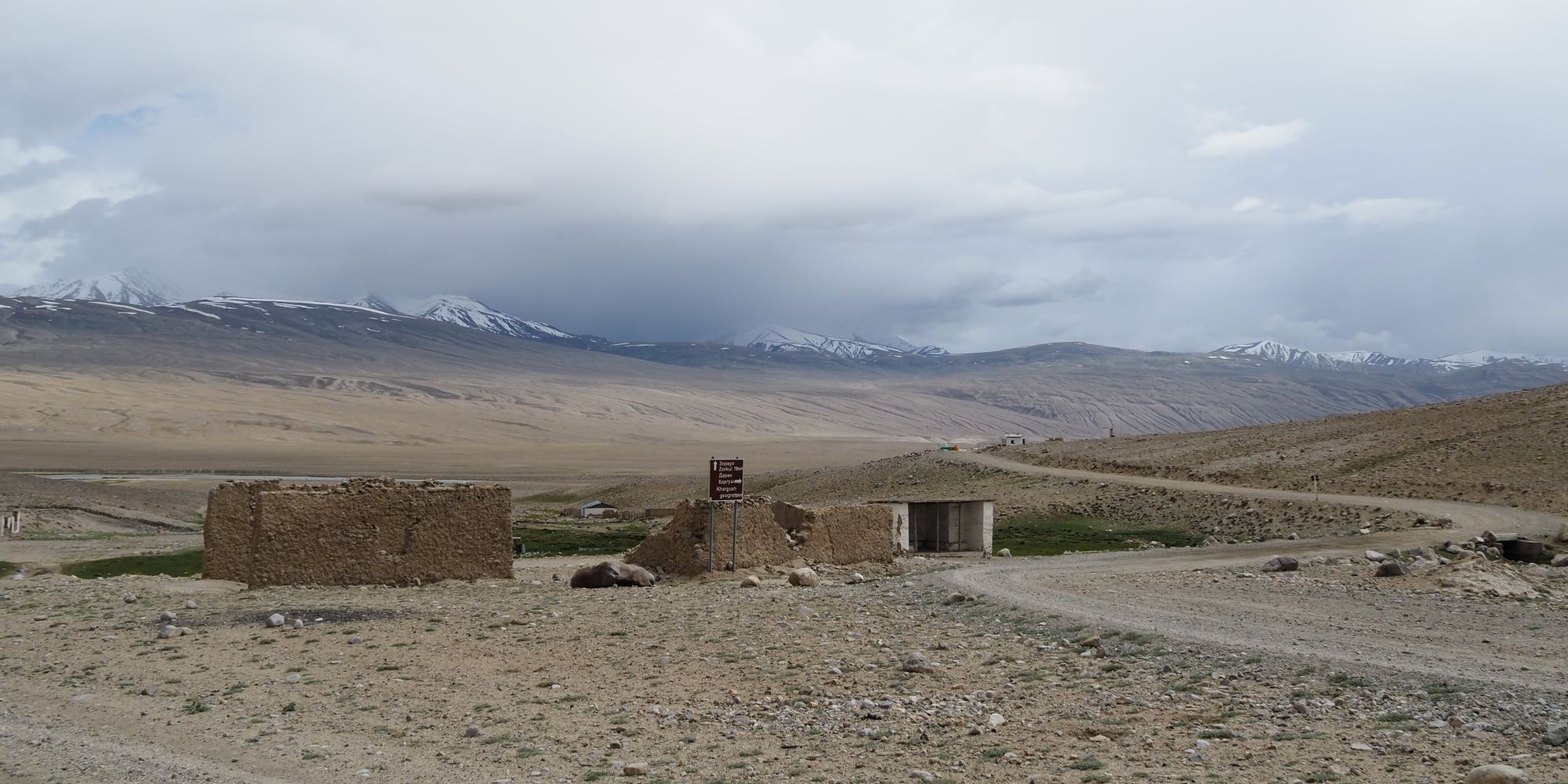
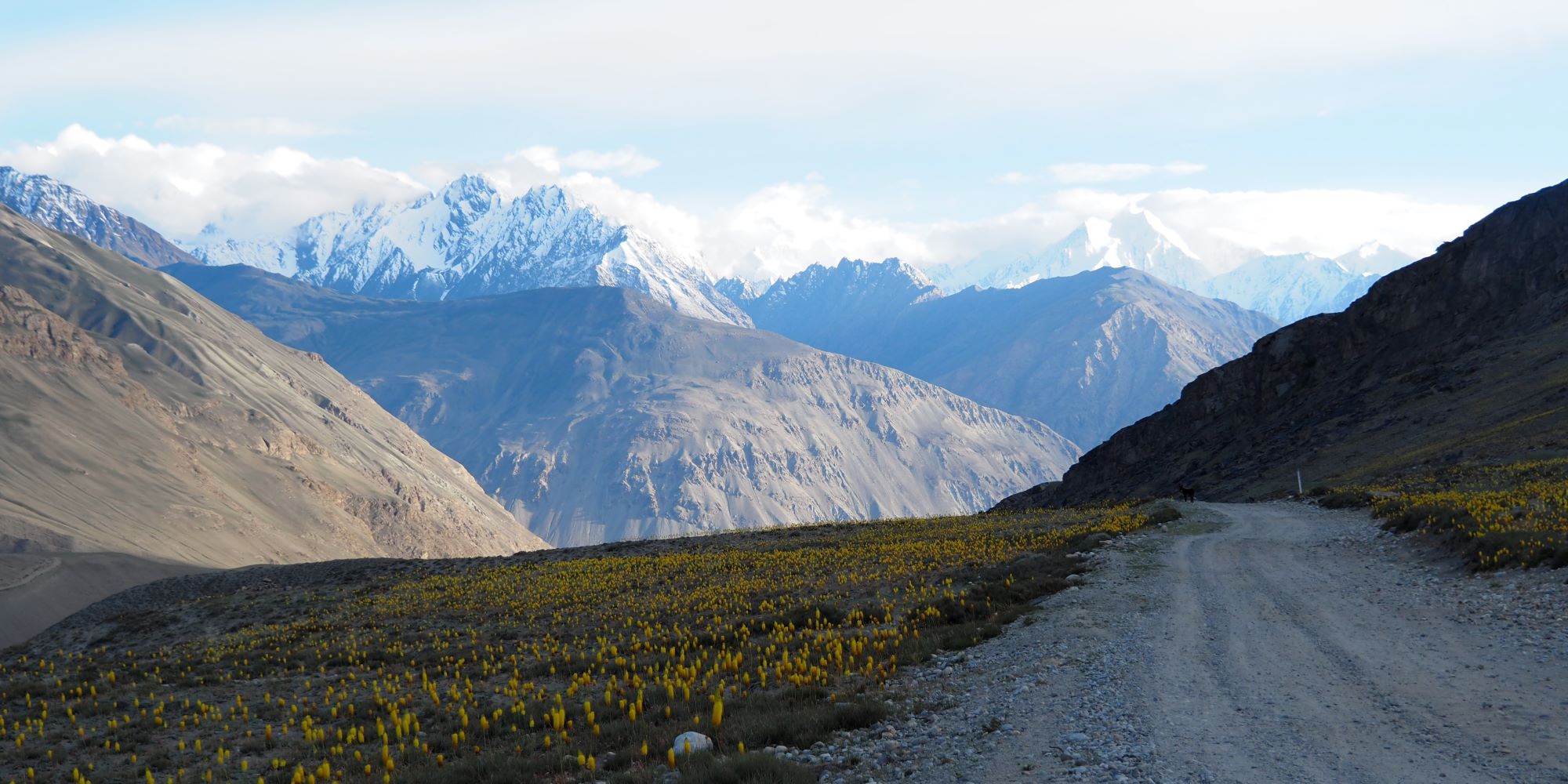
I knew there were major road construction works happening along my path today. 

During the day there is only a short window where public vehicles are allowed to pass through the construction area, between 12-2pm.  I wasn’t really sure where the construction zone was but just got the tip to start early.

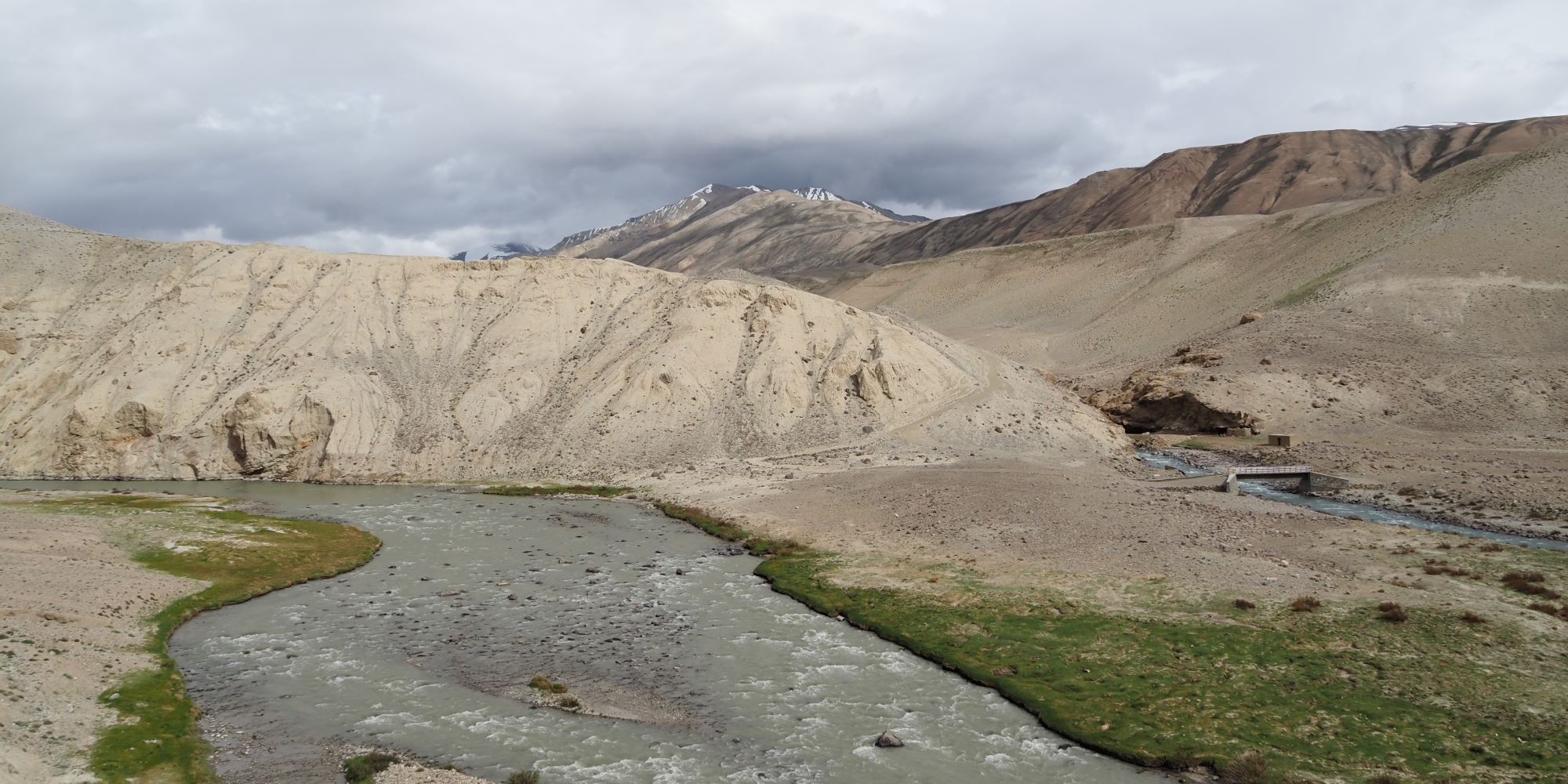
I actually hit the start of the construction zone during the lunch time.  It started well, but then I briefly chatted to some Australian Bateman’s Bay cyclists.  They told me the construction was starting up again at 1pm, not 2pm.

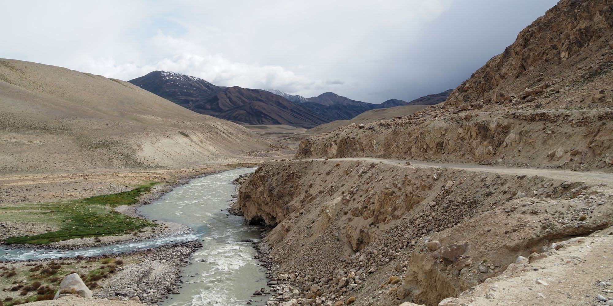
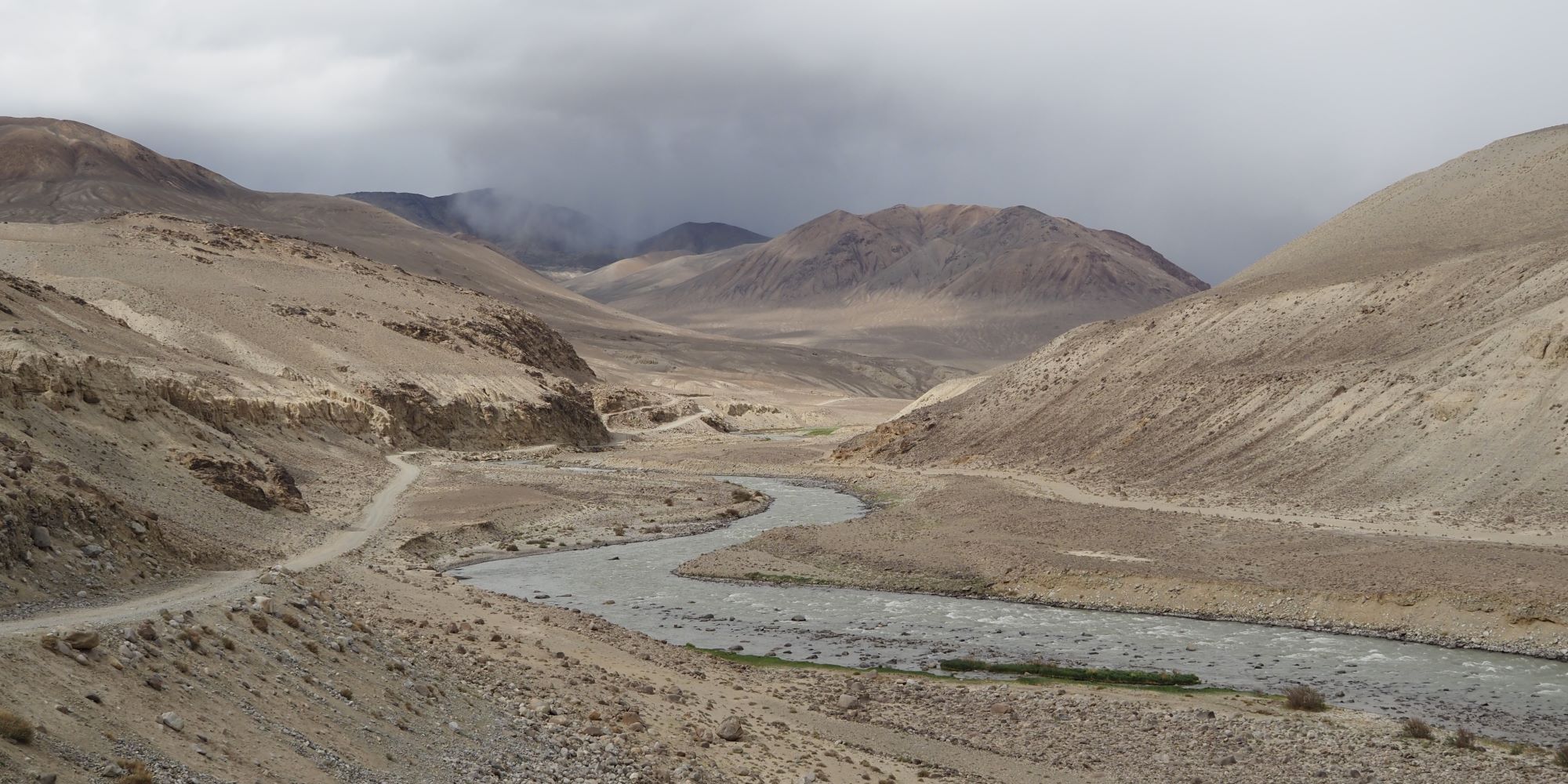
They thought there was 11 km to go and I had about 20 minutes left to clear it.  I actually thought I was making it it at one point, but there was definitely more than 11km left and the other traffic was slow.  I might have made it, but then a truck got stuck and blocked the road just before a construction section.

It was 1:15pm and I did not get going again until 5:30pm.

That’s my bike down the front in the dust below.  Luckily I was invited to sit in a brand new Chinese EV.  The driver was from Murghab (where I had been a few days previous).

There was a convoy of them.  They collect the cars from the Chinese border at Kulma (Karasu Pass) and then bring them along the Pamir Highway (not my Wakhan Valley road) and deliver them to Dushanbe, the capital of Tajikistan.  It’s quite a harsh introduction to life for a new car.

The penny just dropped that maybe all this road construction through the area is part of China’s Belt and Road Initiative.  The border crossing near Murghob is relatively new.

We just sat in the car, tried to chat a little, and in the end watched a Russian dubbed prison fight movie on his phone.  It definitely helped pass the time.

My view for four hours.

There were even two semi loads of cars in the convoy.  Maybe there were more stuck behind.

I don’t know what he has been doing for four hours but he is finishing up.  I ran back to my motorcycle and got in pole position.  There was no way I was eating all of this dust.

My plan started well but then there was another construction stop only about 5km ahead.  Everyone caught up.

Then it opened after 20 minutes and I took off again.  It went well but after about 20km I started catching up to trucks.  There had obviously still been multiple roadblocks ahead of me.

The truck drivers were good at letting me pass.  The existing “highway” is a narrow, uneven, rocky, dusty track with a dangerous drop to the river below in many parts.  This is not the location to come off your bike.  Be patient, make sure the truck driver has time to work out you are there, before you make any moves to overtake, and use your indicator.  Look for a few flashes of their left indicator that the coast is clear for you to safely pass. 

Then I hit a major problem, or opportunity maybe?  There was a huge traffic jam on the side of the mountain in a one lane section.  I think a Bolivian Landslide was the last time I saw such a mess.  It was a terrible sight but also a great opportunity if I could get through.  I started weaving my way.  There was one section where I had to skim along those trucks against the edge, that was pretty spooky.  I also needed some help basically dragging the bike between that concrete barrier and the truck.  Further up I had to completely remove my panniers and carry them so I could squeeze through more trucks.  But I was clear.

I had a clear ride all the way into Kalaikhum.  It was still over two hours away and it was dark and about 8:30pm when I arrived.  I went out for dinner at a restaurant on the main road.  I did not see one truck come through.  I don’t know what happened but I expect it was bad.

The next day I continued alongside the Afghanistan border until I turned off for Dushanbe.  I think this was Nurek Dam.

The new Tajikistan Parliament Building just getting the finishing touches.