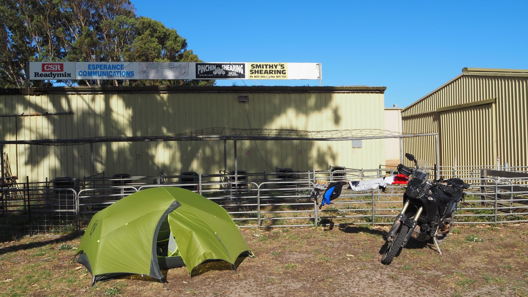
In January 2021 the state of Western Australia opened it’s border as the Covid 19 pandemic eased. It was the start of an influx of tourists and travellers that were bored with their local state and ready for new horizons. It was the start of Autumn, so the weather is mild and not too cold yet.
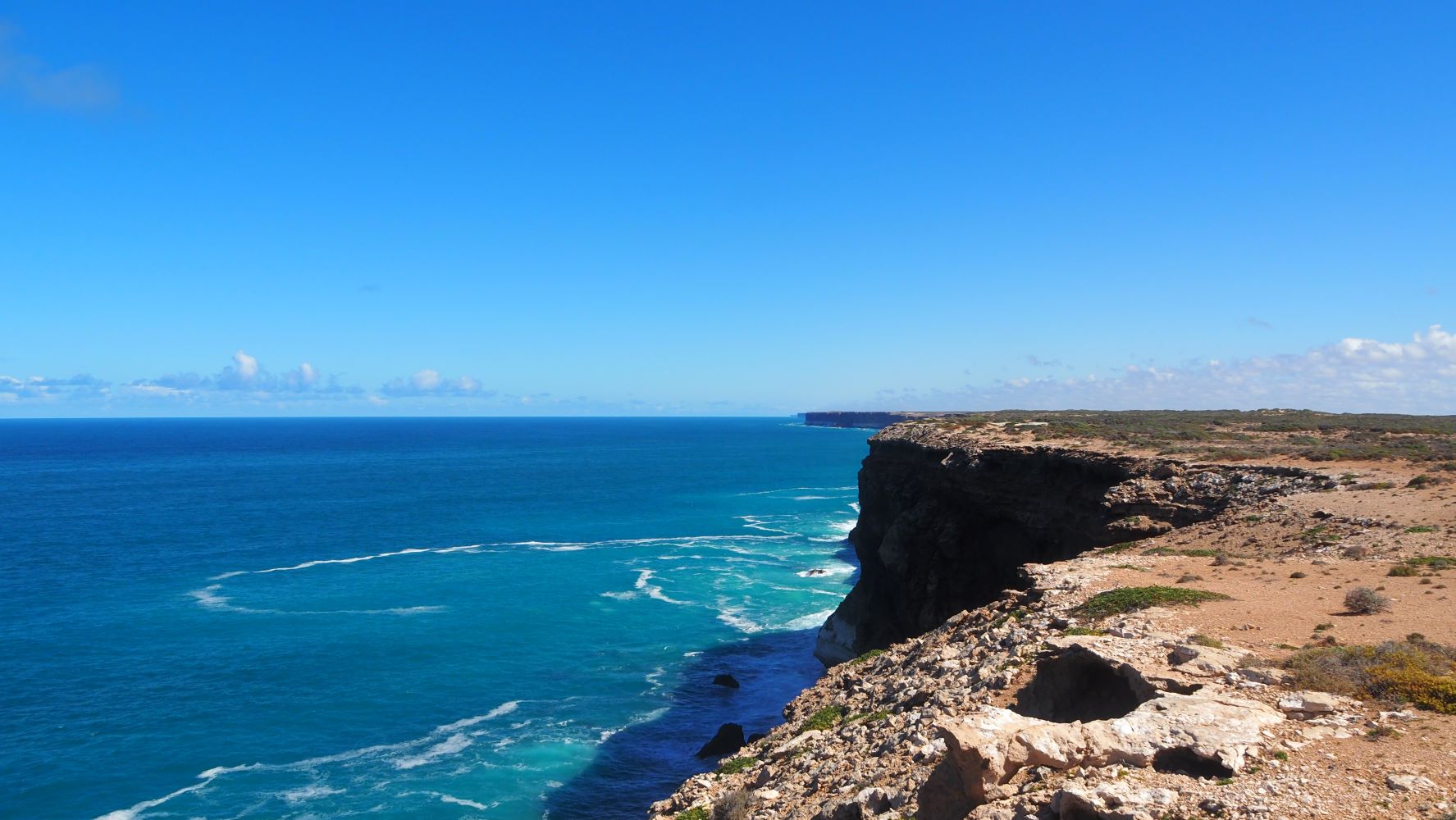
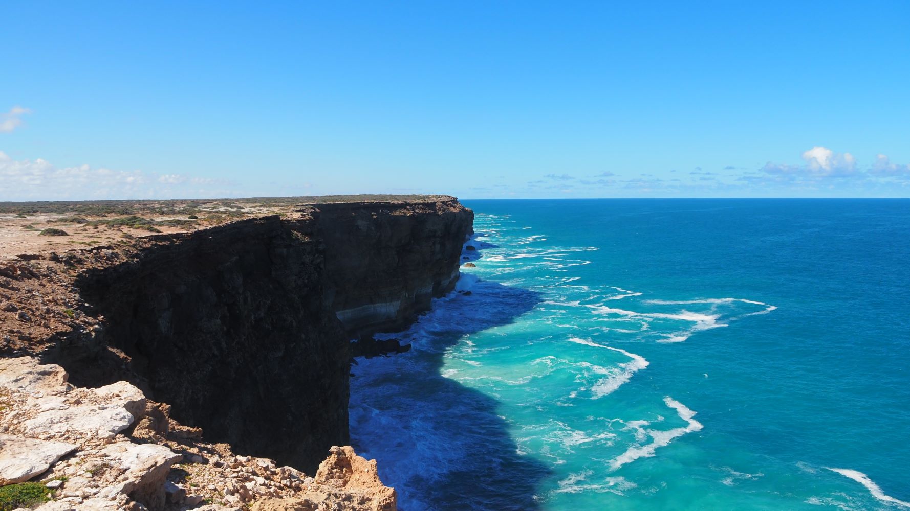
So quite quickly I joined the “go west” movement. I had previously ridden out towards the border in this update – Darwin to Nullarbor to Adelaide.
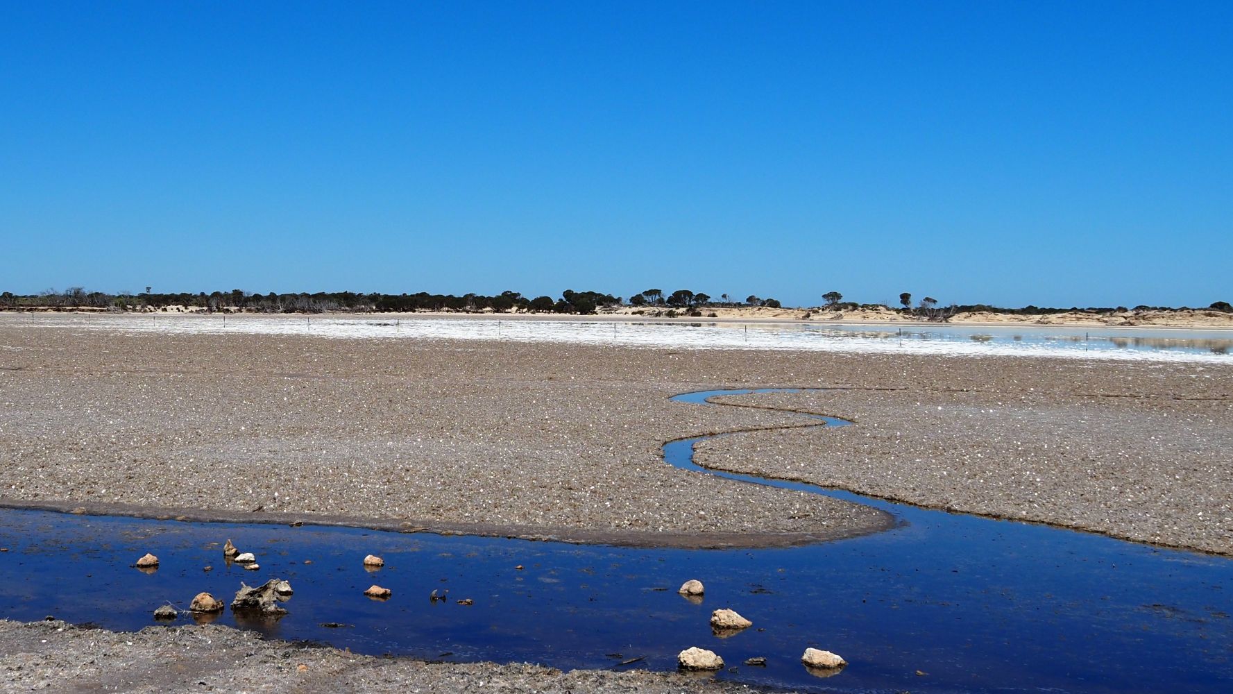
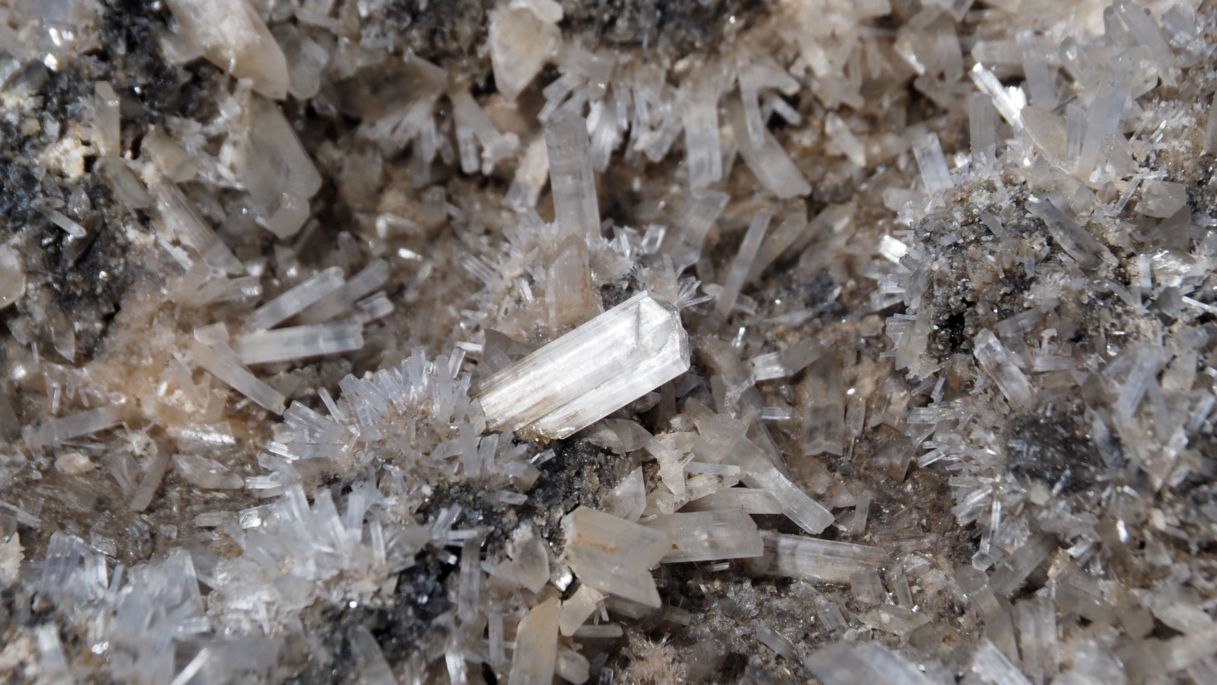
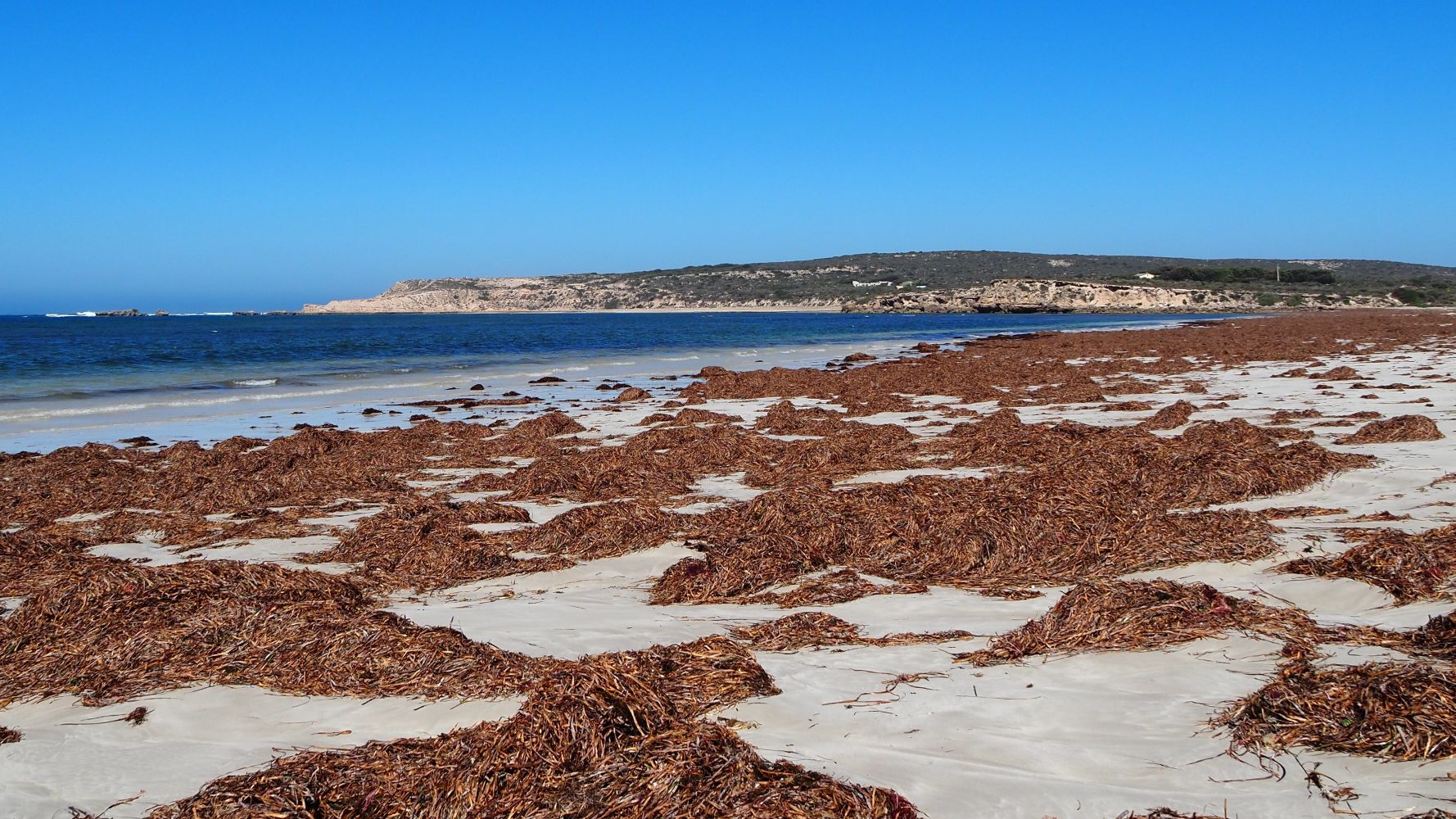
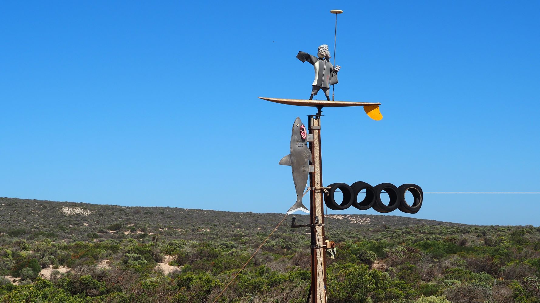
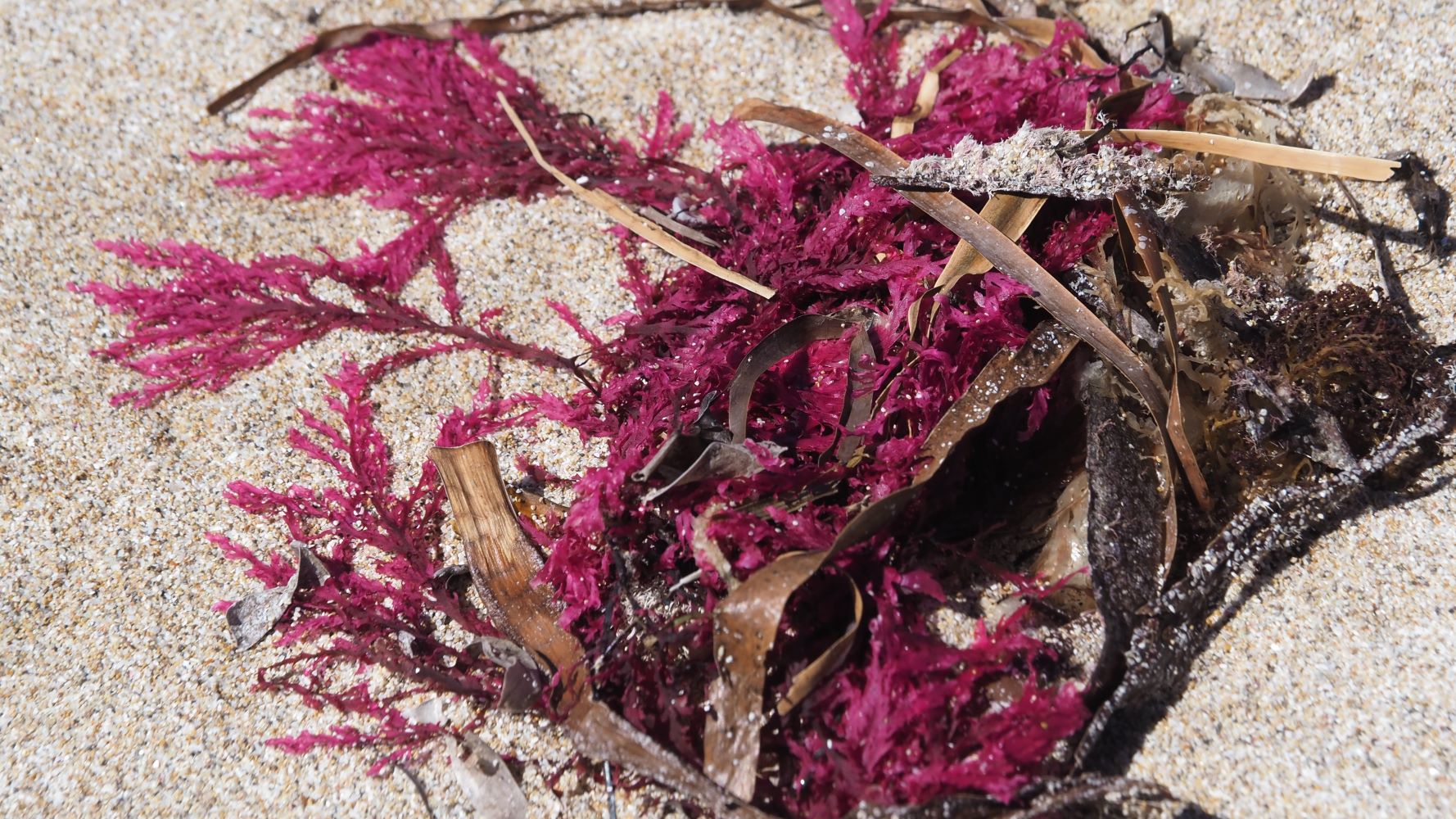
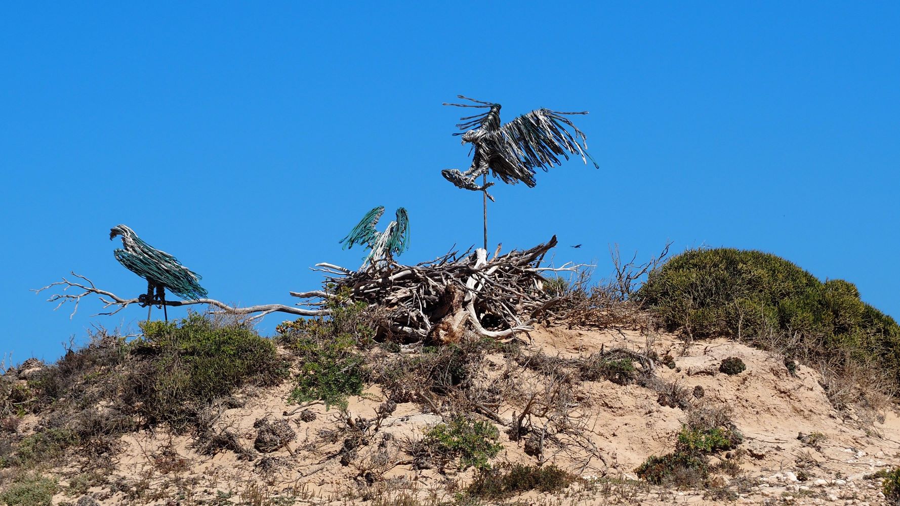
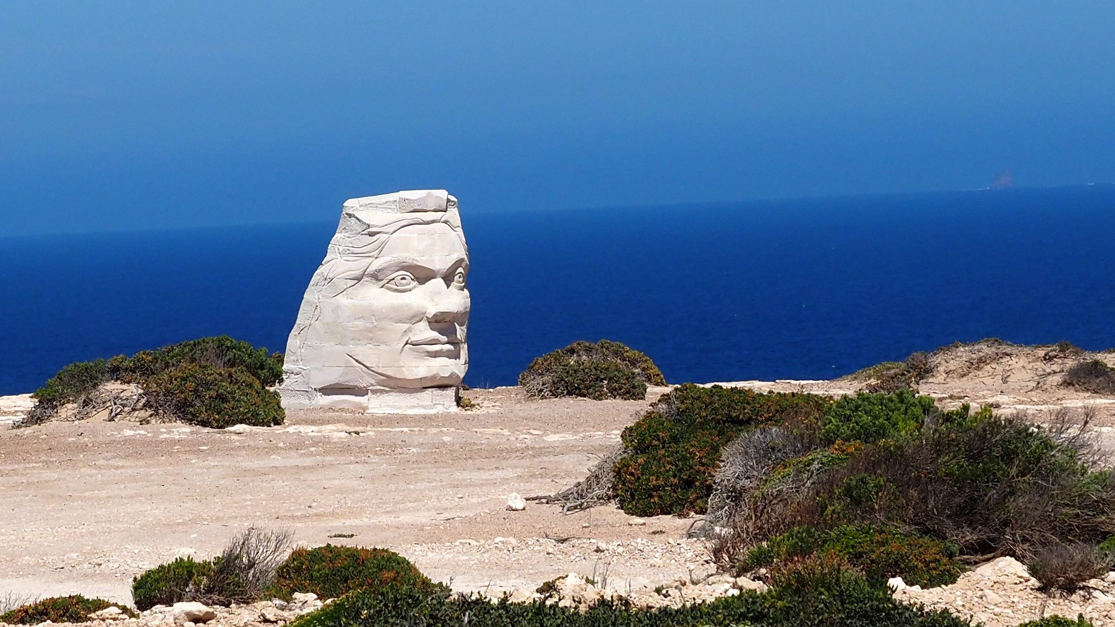
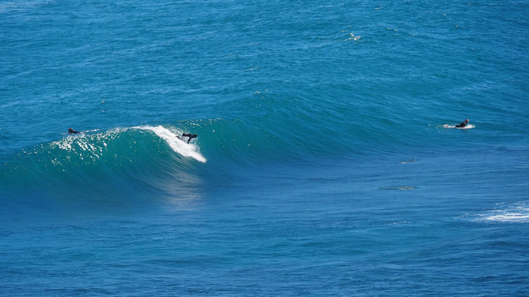
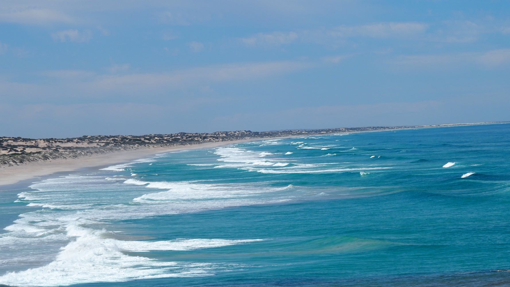
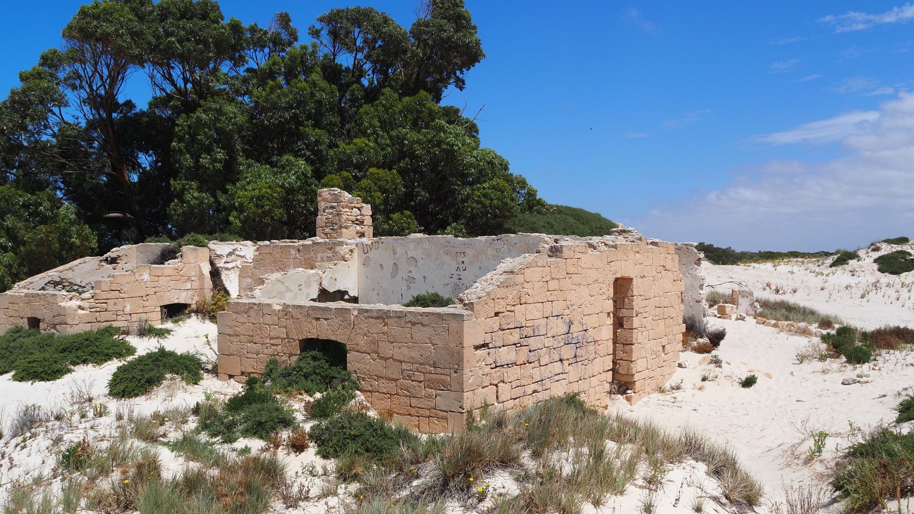
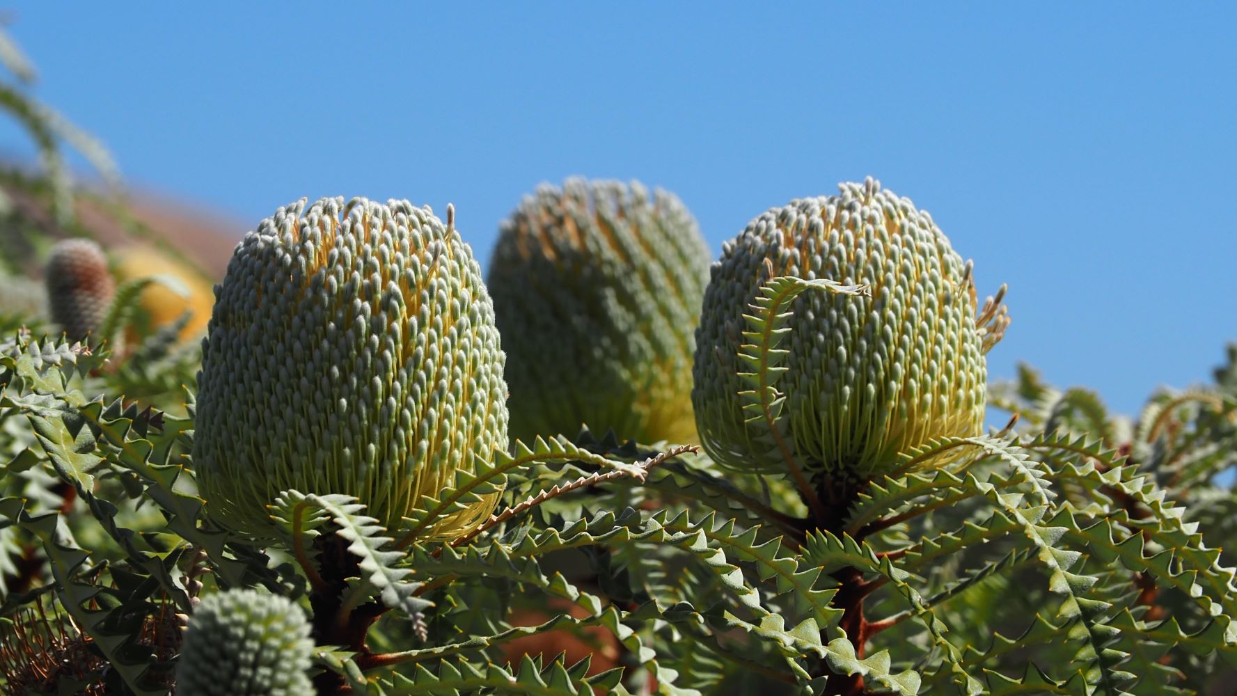
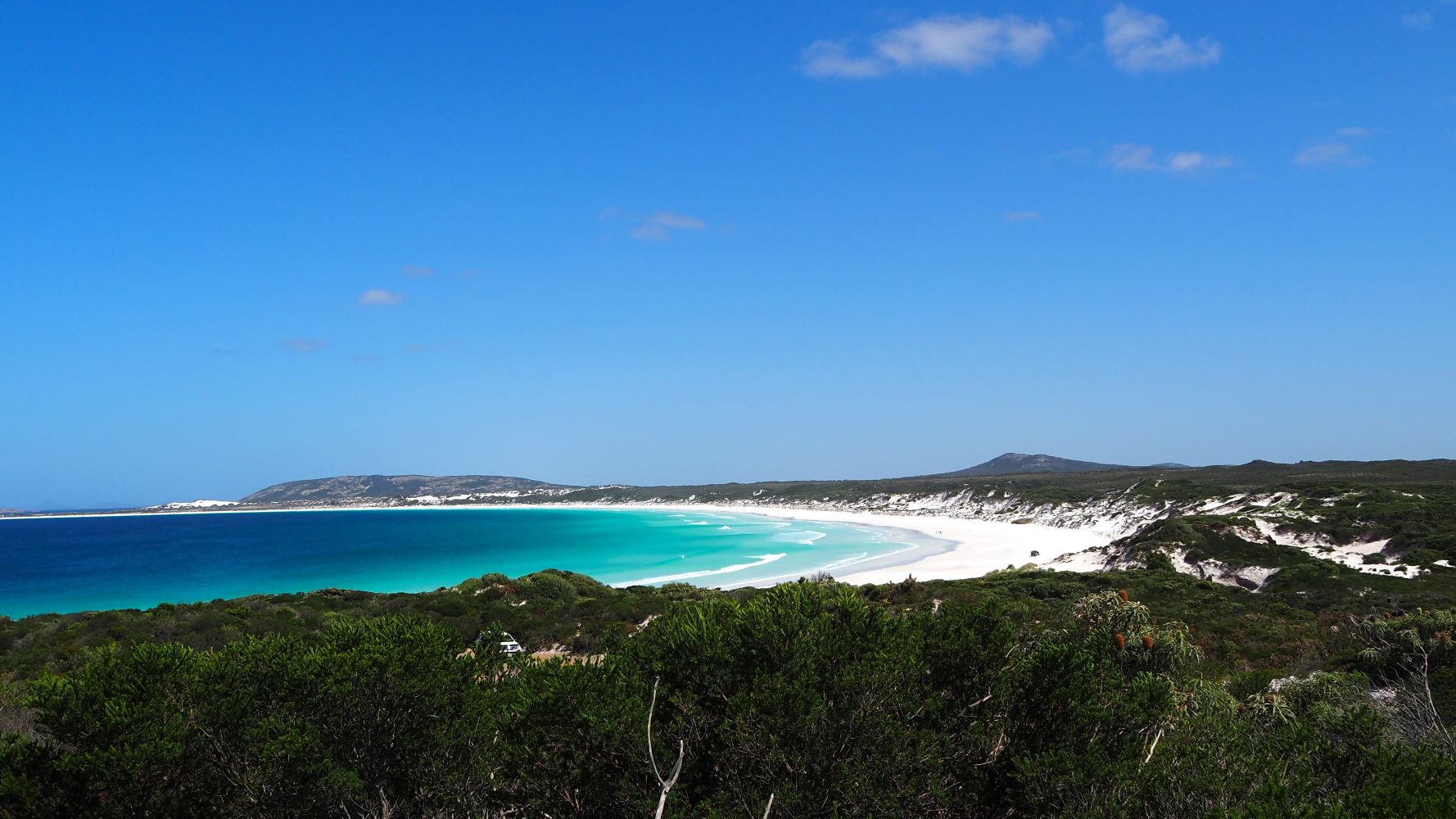
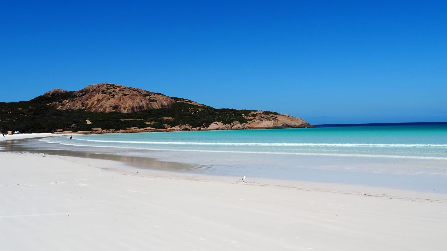
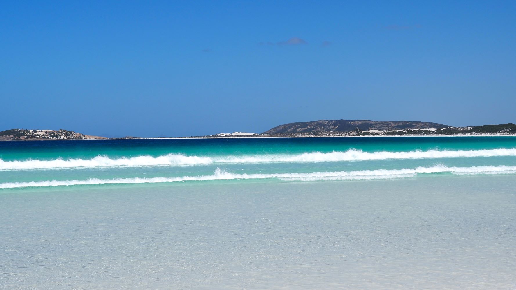
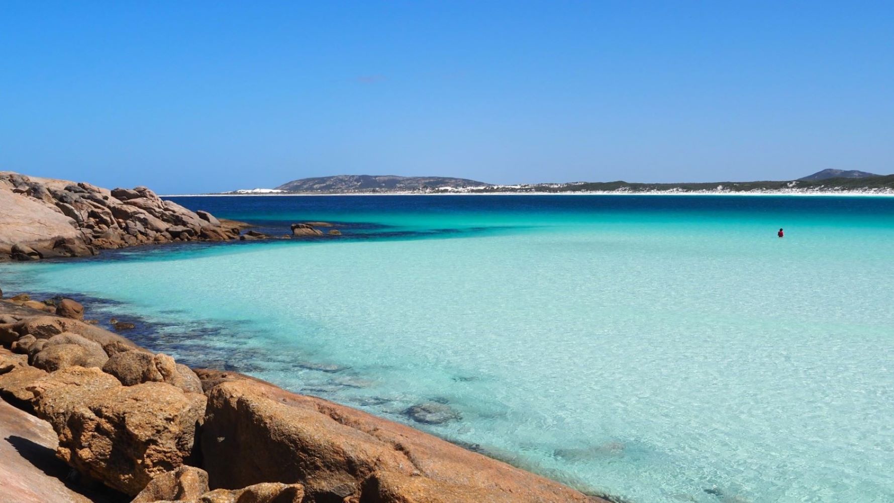
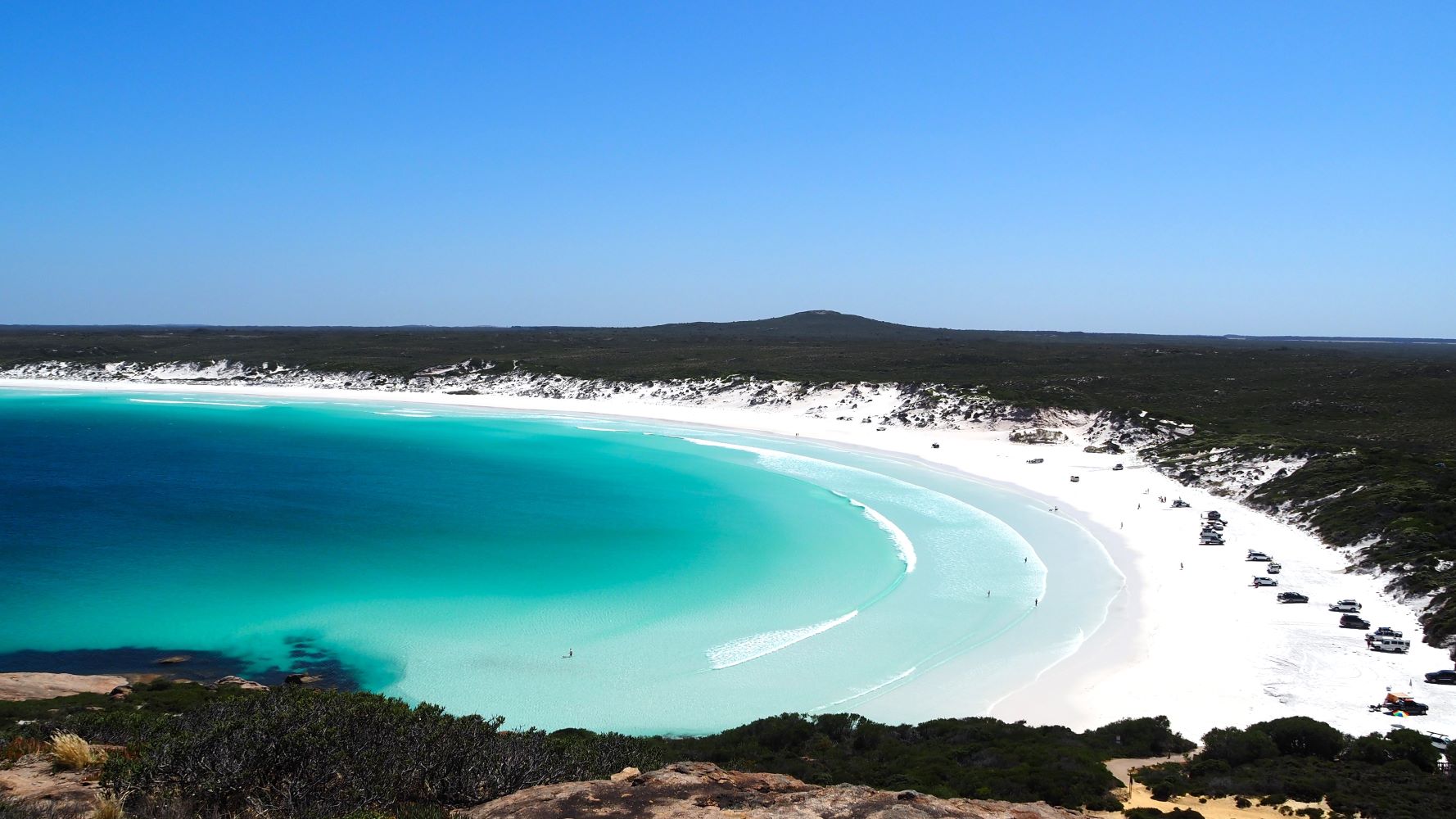
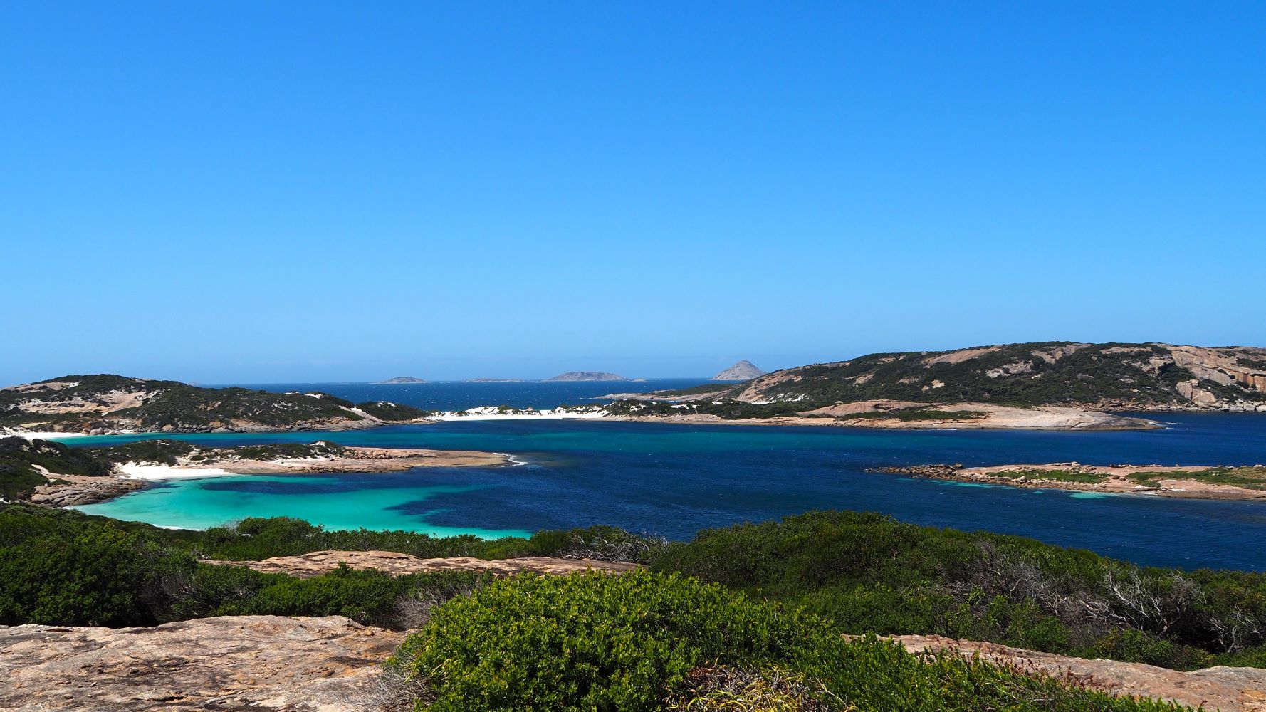
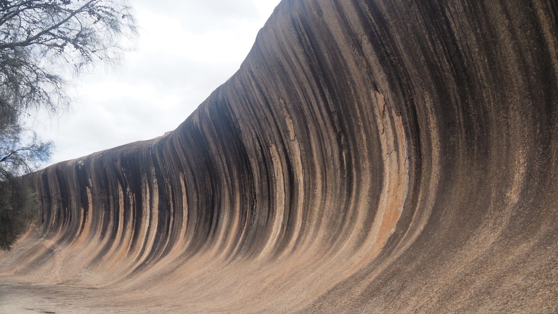
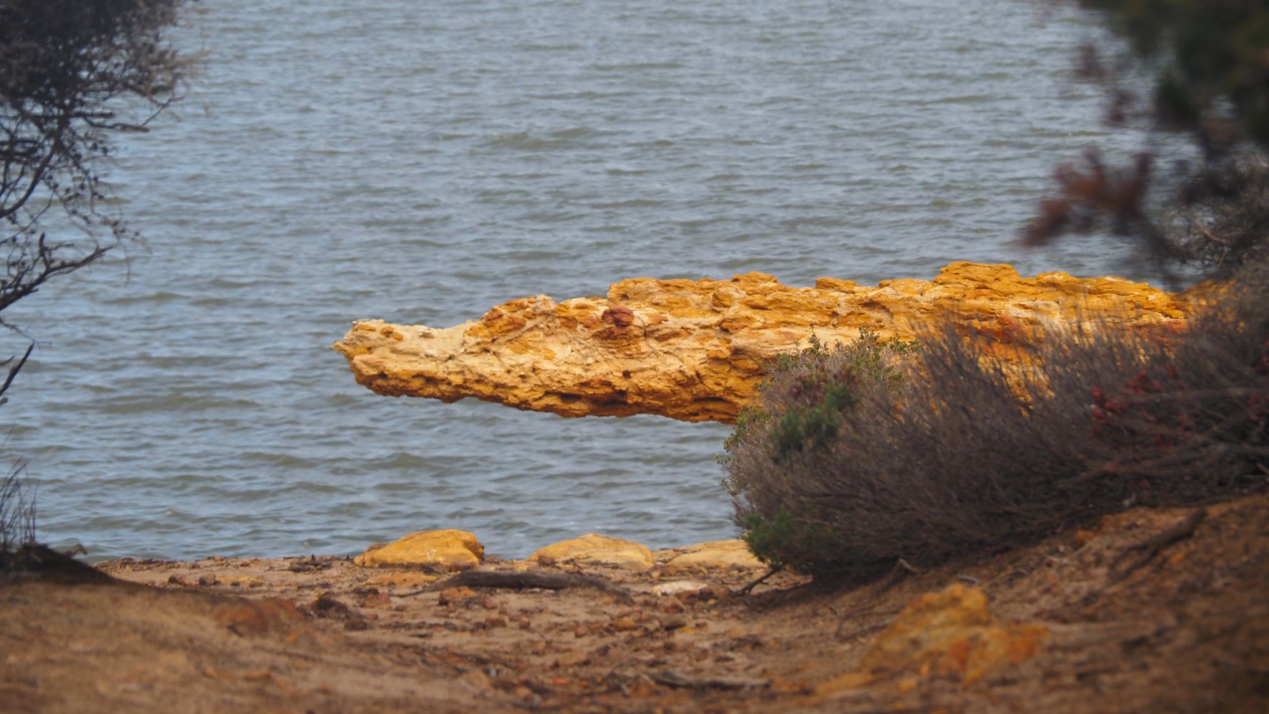
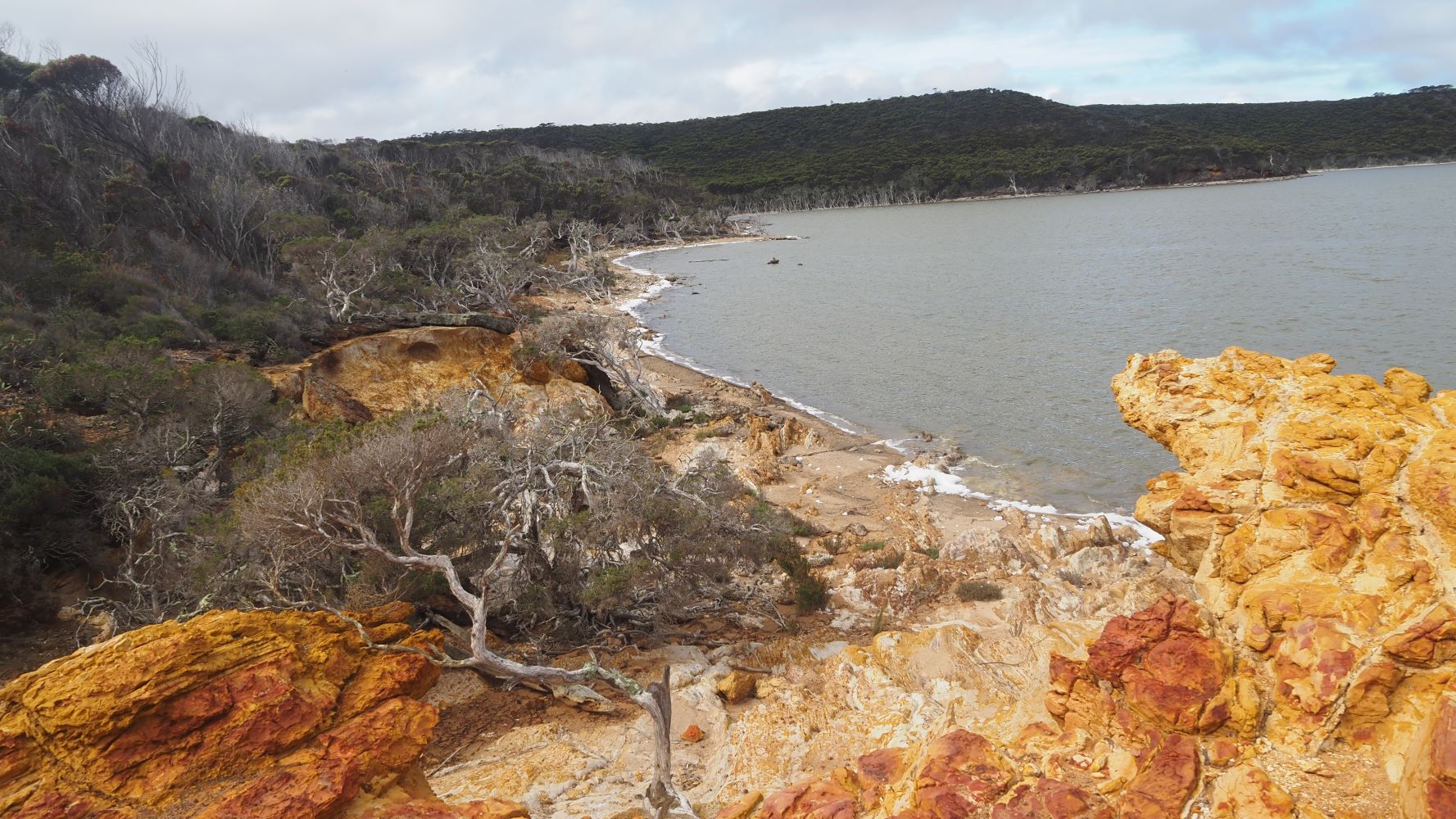
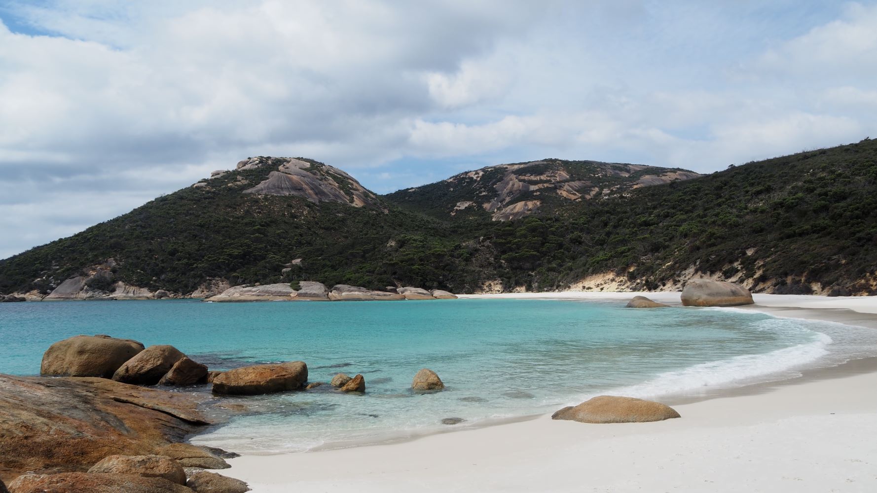
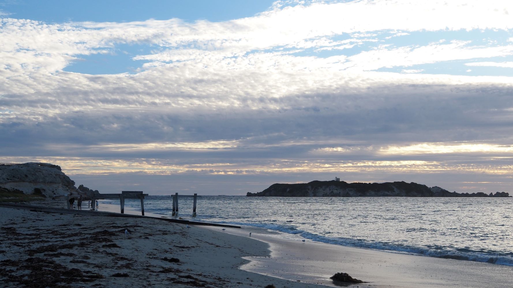
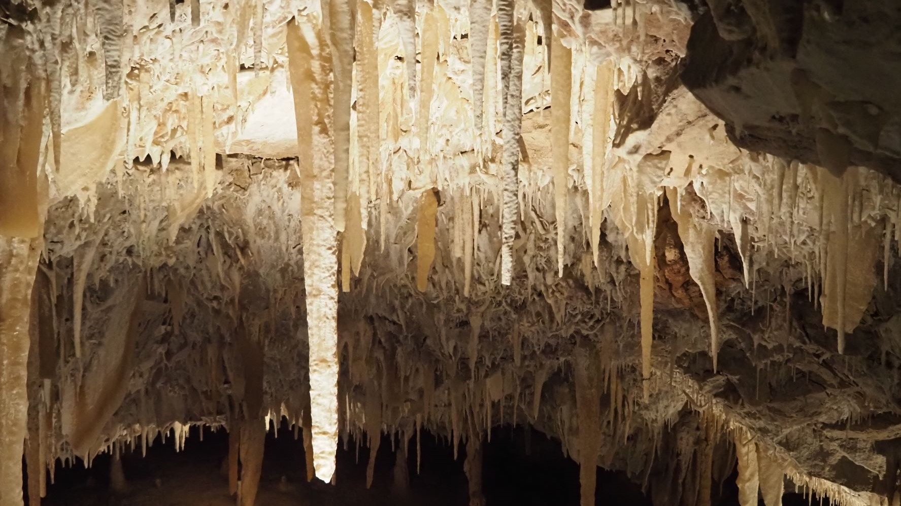
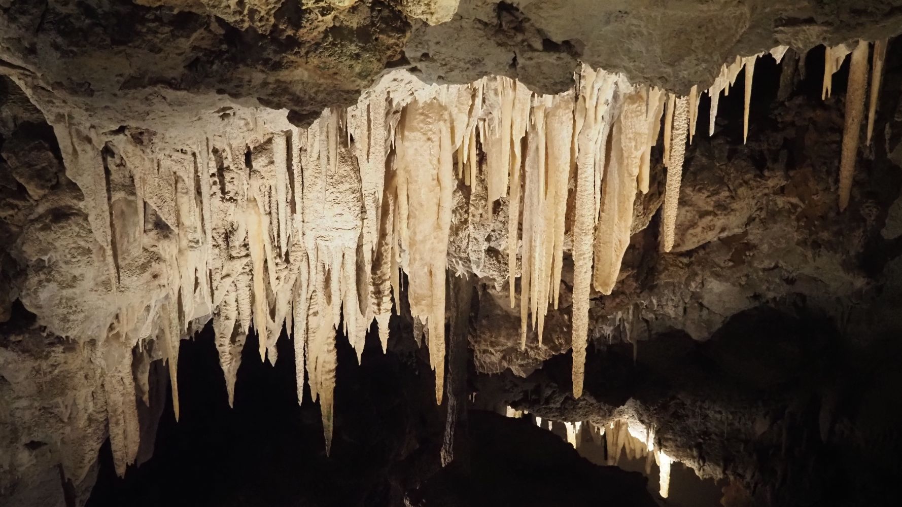
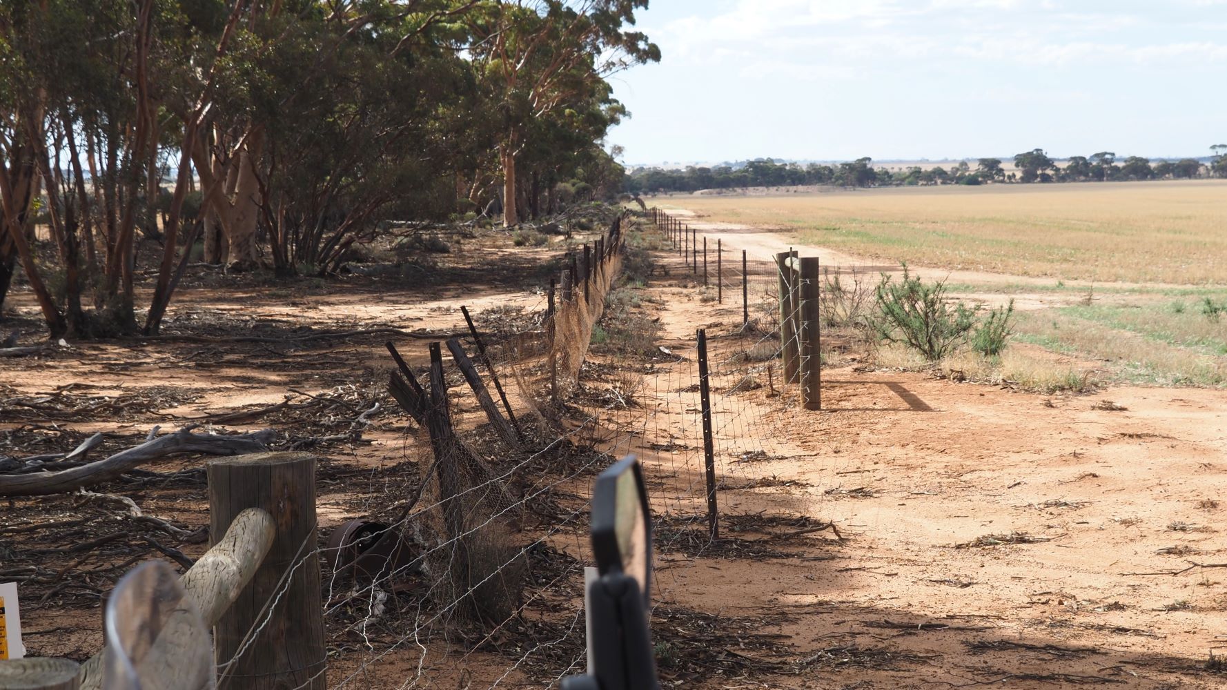
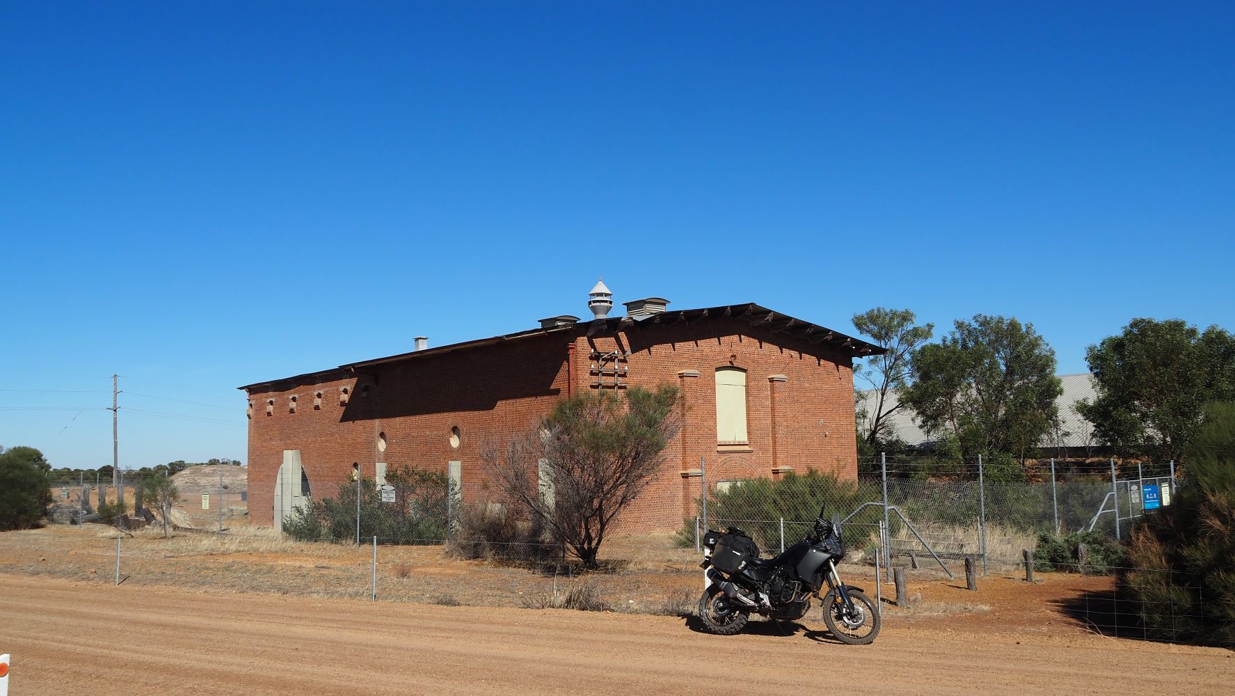
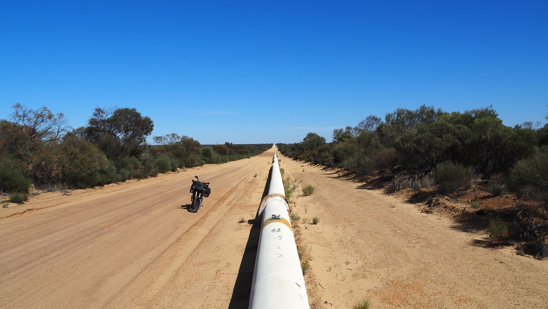
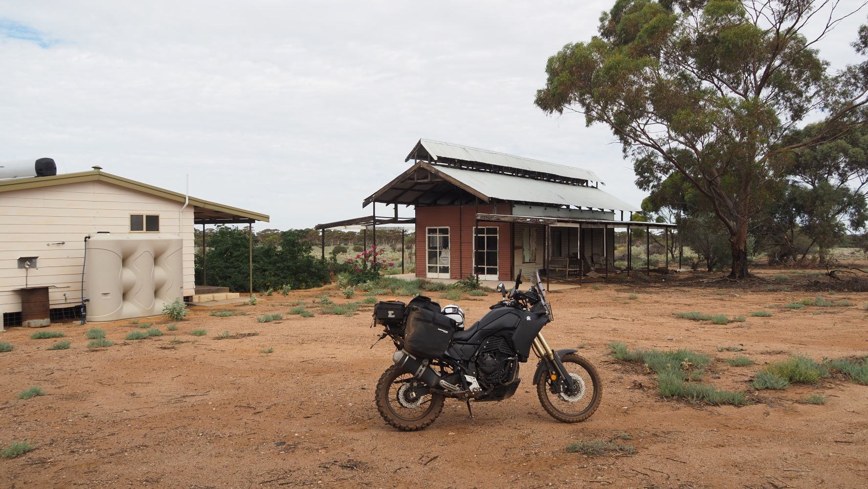
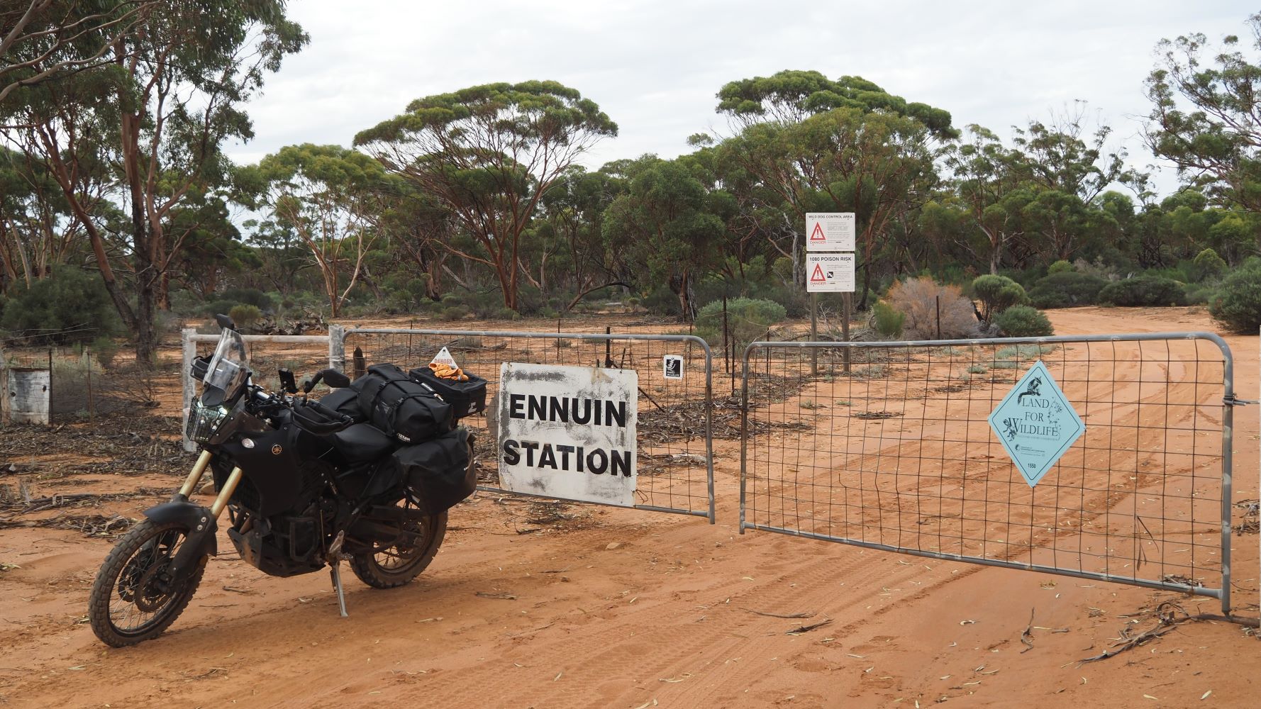
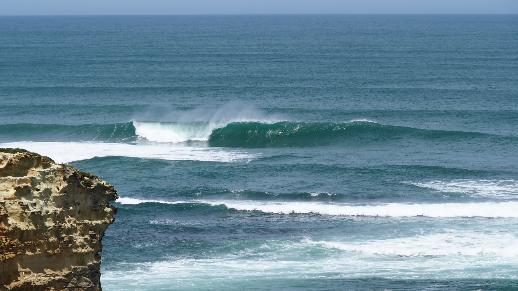
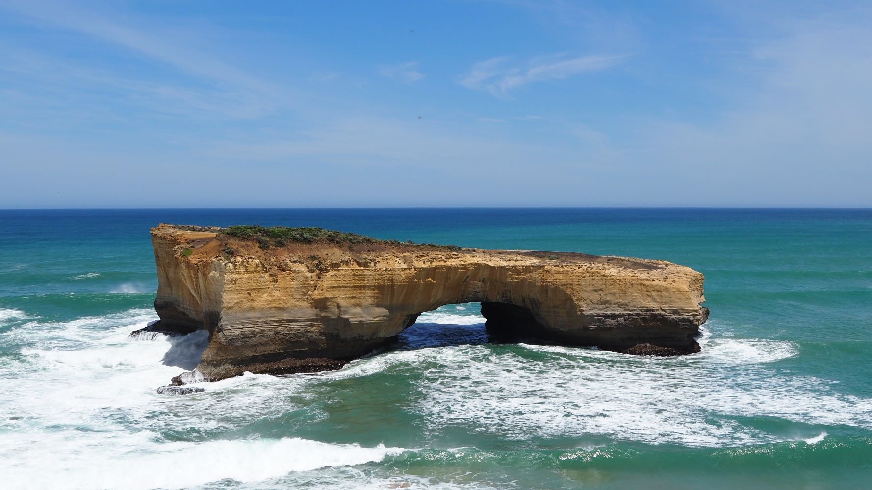
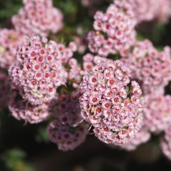
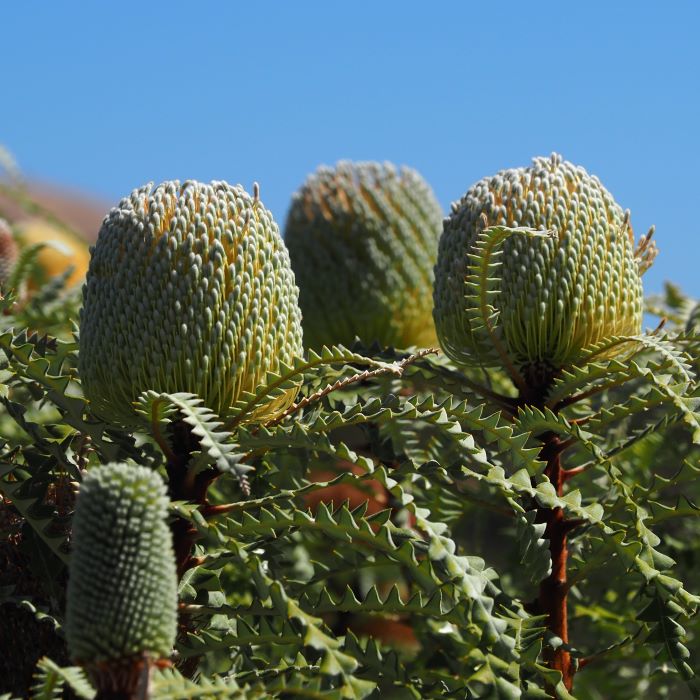
I am actually writing this update in March 2025, while in the small town of Pietramontecorvin in Italy. So my memory is a little hazy but there is some nice scenery of South and Western Australia that people might not be aware of, so I thought I should put it together. I wasn’t really in the journal mode at the time, so the photos are a little patchy in their coverage.
A local electricity pole with some humour. There have been deaths previously and sadly a local surfer was attacked and killed by a shark a couple of years after I took this photo.
Soon after passing through Penong I took a turn off to follow the Old Eyre (Nullarbor) Highway (below). It is the path of the original highway that was abandoned in the 1970’s for the current sealed road. I have previously done a separate update – The Old Eyre (Nullarbor) Highway
The Old Eyre Highway comes out right at the border to Western Australia. There were still officials at the border but I crossed through the border fairly easily, picked up some fuel and kept riding west. These days you would just drive through, although there is probably a quarantine point to stop the movement of unwanted plants and animals. This is the Old Telegraph Station at Eucla, Western Australia.
I camped a couple of nights before reaching the coastal town of Esperance. The town was inundated by tourists like me and all the caravan parks and motels were full. Fortunately, they had an overflow solution of using the local showgrounds. I found a nice quiet spot near the shearing pavilion and stayed a few days. There was a kitchen and hot showers available.
After a few days in Esperance I packed up and rode back eastward along the coastline. I ended up staying at Duke of Orleans Bay Caravan Park for a couple more days. The following photos are from a walk I did along the headland through Tjaltjraak Boodja Park to Wharton Beach.
I began riding further west. I spent my time generally following the coast around to Perth but also zigzagging inland as the mood took me. Riding through the jarrah forests is amazing but no photos unfortunately. This is Wave Rock, near Hyden. I am glad I went out to have a look but it wasn’t too exciting.
Back on the coast now, I camped at Millers Point Reserve Bush Camp for a couple of days. This is their local “crocodile rock”.
This is Jewel Cave. My photos did not do it justice. It was the most spectacular cave I have seen and definitely worth a visit.
The old fence on the left is a remnant of the Rabbit-Proof Fence. I think this was fence no. 2, built in 1905. There were three fences built with a total of 3,256 kilometres (2,023 miles). The barrier was supposed to stop rabbits and other pests coming from the east and invading pastoral lands. It had some limited success, but was a long term failure. With hindsight they were pretty optimistic in thinking it would work. Rabbits are still a major pest throughout Australia 120 years later.
After spending some time in Perth it was still too early in the cyclone season to go much further north yet. I decided to head back east for a while towards Kalgoorlie. At one point I followed the pipeline for the Goldfields Water Supply Scheme built in 1903. This is one of the pumping stations.
This is probably a good point to mention “pea gravel”. This photo is more sand but looks like it might have pea gravel mixed in. Pea gravel is made up of small spherical stones up to about 10mm or 3/8 inch. It can be quite tricky to ride with a motorcycle or bicycle, especially when thick. Imagine riding on ball bearings or glass marbles. It is commonly used on gravel roads in Western Australia. I reckon if you master riding on pea gravel you would be right riding any gravel road. The photo is of the Goldfields Water Supply Scheme. The pipeline route is now the Golden Pipeline Heritage Trail.
This is the track out to Ennuin Station. A lady in a nearby town had told me about it. My memory is a little hazy but I think it had been handed over to the Government and was now a nature research station. It was a fun ride out there anyway. I didn’t camp there. I am not sure if you can. I am not sure if it is even open these days.
I decided to gradually start making my way north in the hope the wet season would end fairly soon. It was April so it was almost there. But then tropical cyclone Seroja began heading for Western Australia. It had already caused many deaths in Indonesia and is the third deadliest cyclone to be recorded in Australian waters. Western Australia was put on alert. My memory is a little foggy but I remember being stuck in my tent in the caravan park of a small town inland north east of Perth. It did ease somewhat to a category 3 by the time it crossed the Western Australia coastline and had little impact where I was. But it did cause some significant destruction and flooding that meant I was not going north any time soon. I decided to ride back to Perth and regroup.
In the end I did not complete my intended coastal trip around to Darwin. A family commitment took me back to Adelaide, so that was it for Western Australia.
Crossing the Nullarbor Plain, again. This time I just pushed straight through along the Eyre Highway and rode the 2,600 kms from Perth to Adelaide dawn to dusk, in three or four days. I did stop a few times to take photos of the cliffs along the Great Australian Bight.
The Old Eyre (Nullarbor) Highway
February 2021
Australia to Puerto Varas, South America
Update 1 (late November 2022)