In late September 2020, I was returning to Adelaide from a motorbike trip through South Australia and the Northern Territory. I came back through part of the Flinders Ranges.
There is a section of the Heysen Trail, south of Hawker that’s public road (dirt track) and I have done it a few times. I think I was actually going to Flinders Food Co in Hawker for something nice to eat.
There was a young woman hiking towards me. I stopped and chatted. Rachael was doing the trail solo and then going back to her mining job in Western Australia. We talked for a while and then went off in opposite directions.
A bit later that day, I thought, why don’t I do that next? So just over a week later I was on a bus to Parachilna to start walking the Flinders Ranges along the Heysen Trail.
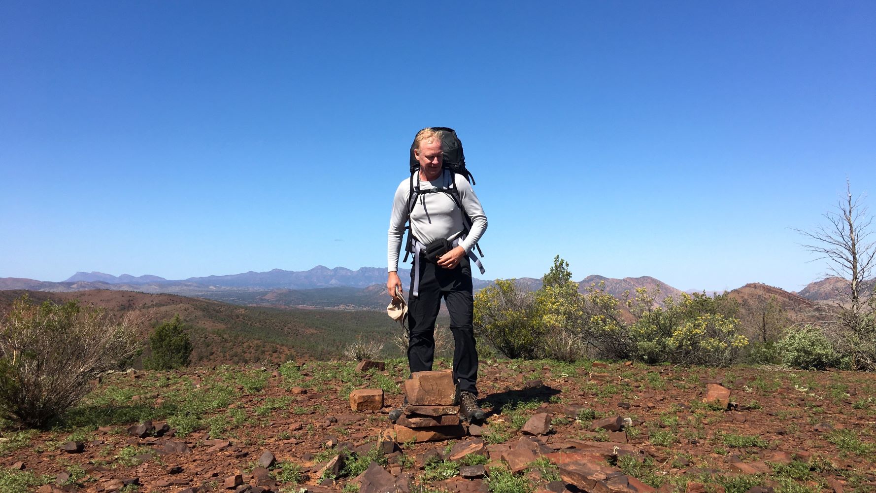
I decided to just use the camping gear I had from my motorcycle travel and then went out and bought a bit of new gear – a new hiking pack, Scarpa boots and some hiking poles. It wasn’t the ideal hiking preparation but I would survive.
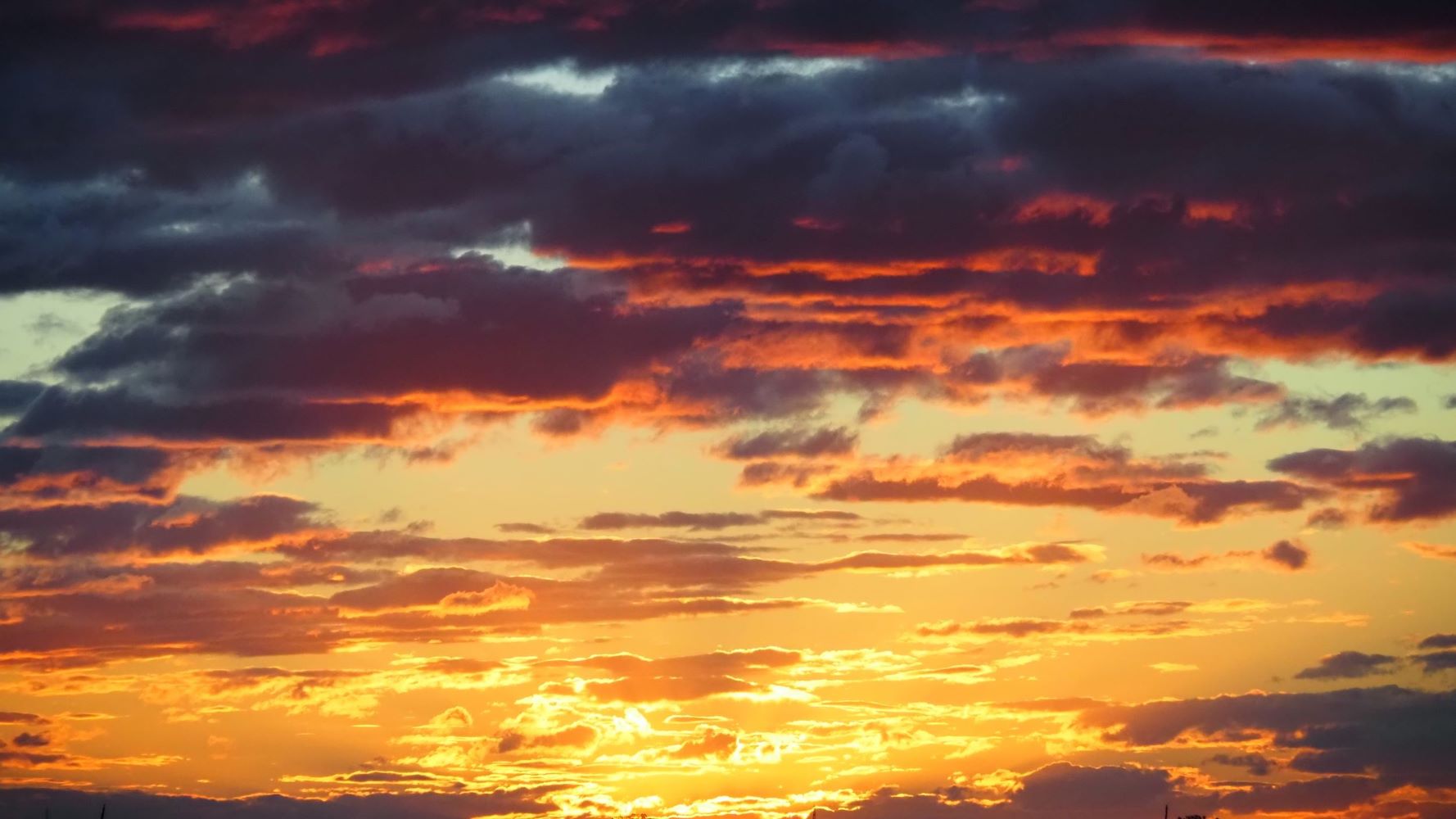
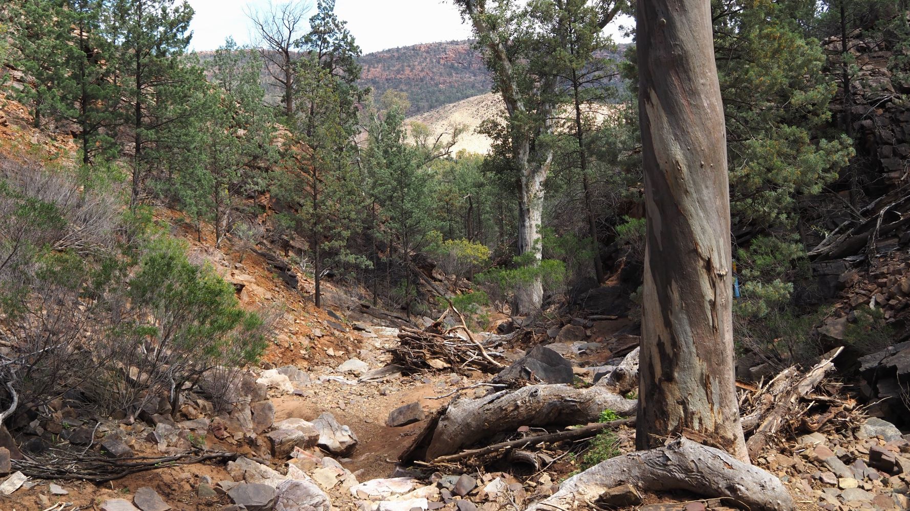
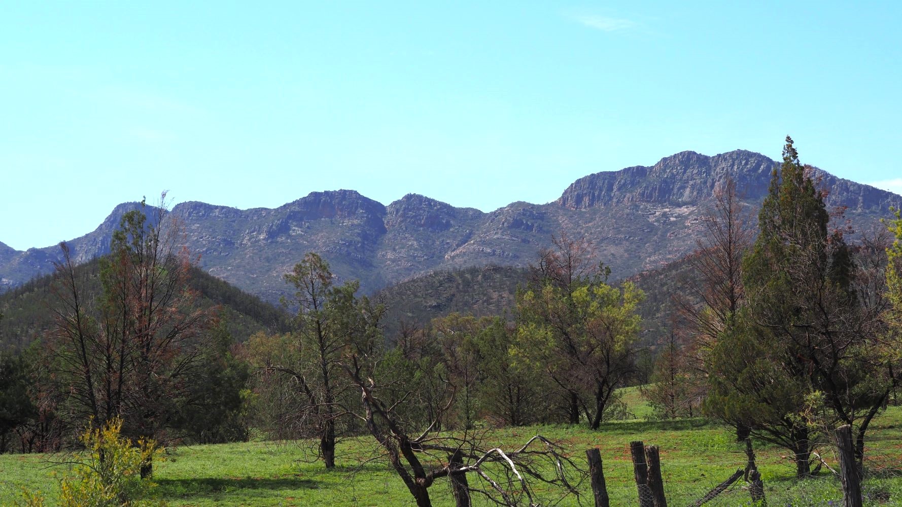
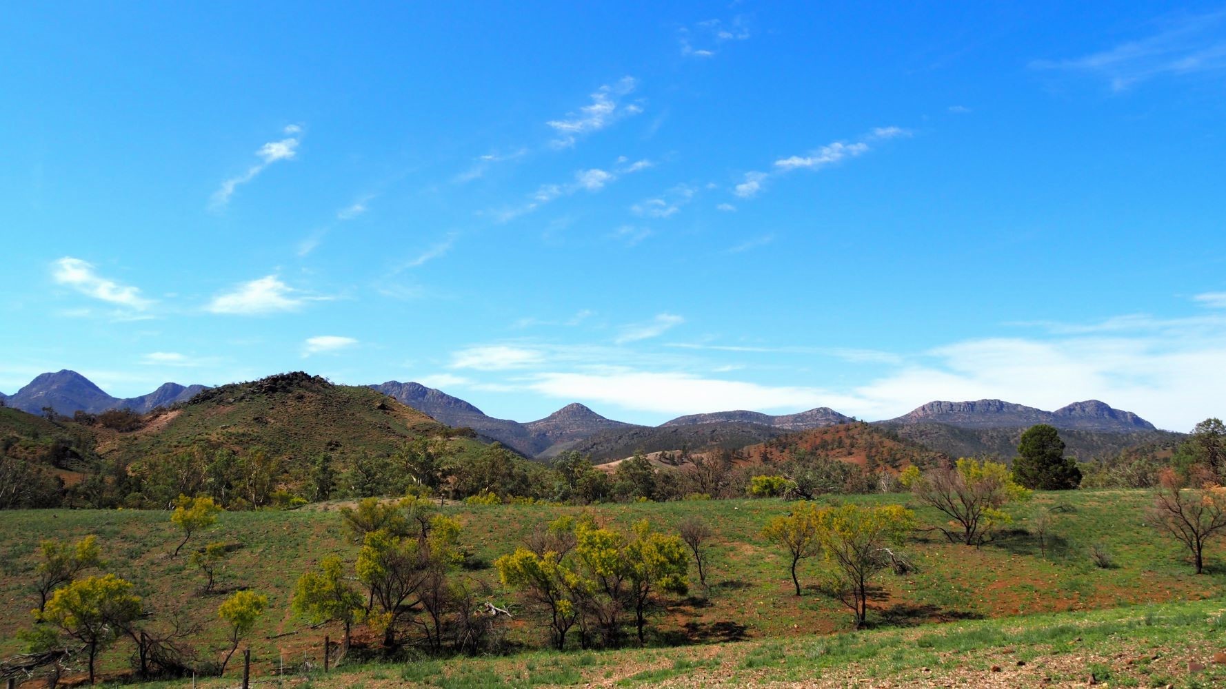
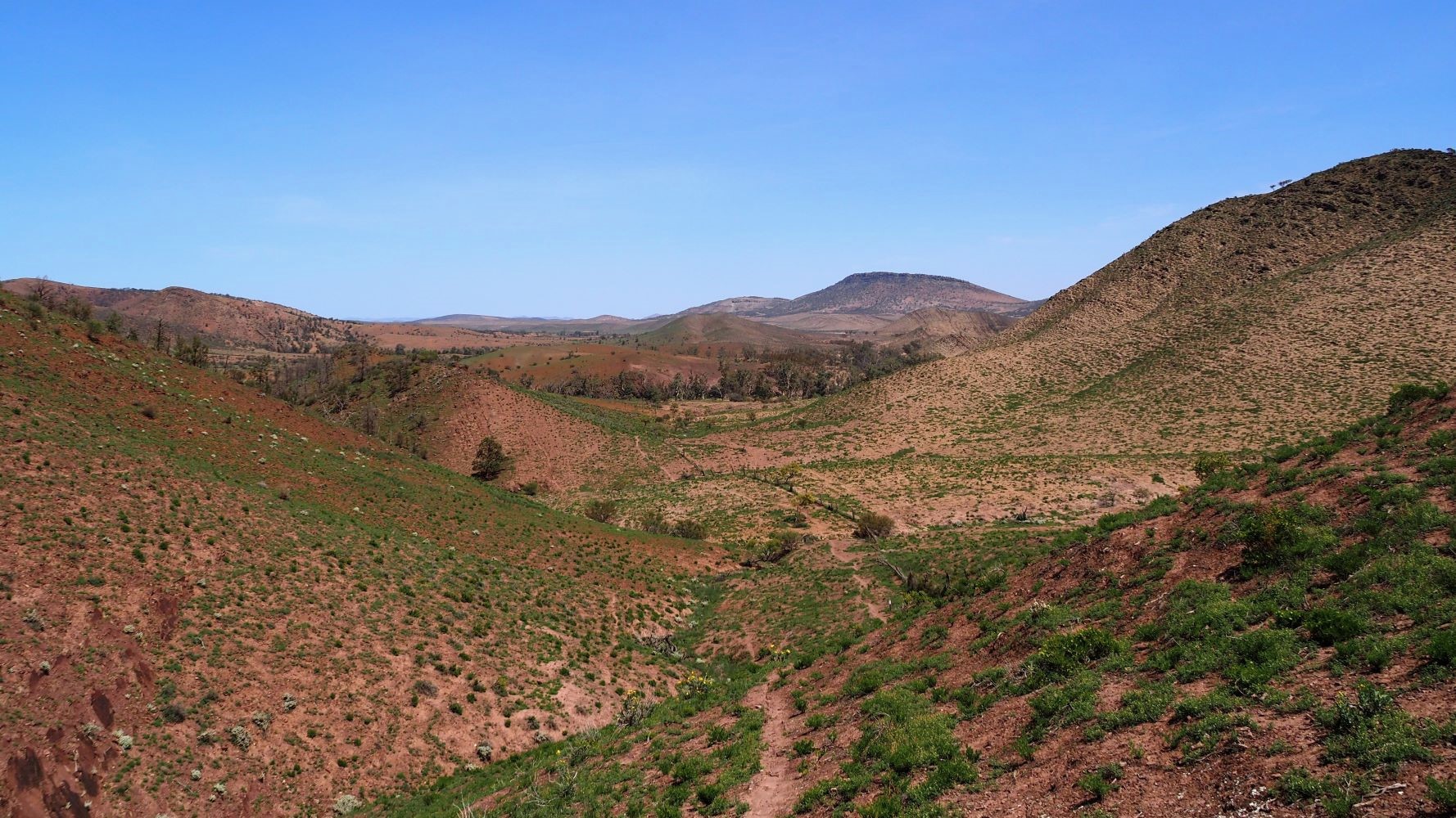
I should add some words of caution, especially for the solo walker. Parts of this trail are very remote. It is important to ensure you plan well and have the right equipment and experience for the conditions. The Flinders Ranges section is not a summer adventure and the trail is closed due to bush fire danger anyway. Summer temperatures in the region can reach 45 °C or 113 °F.
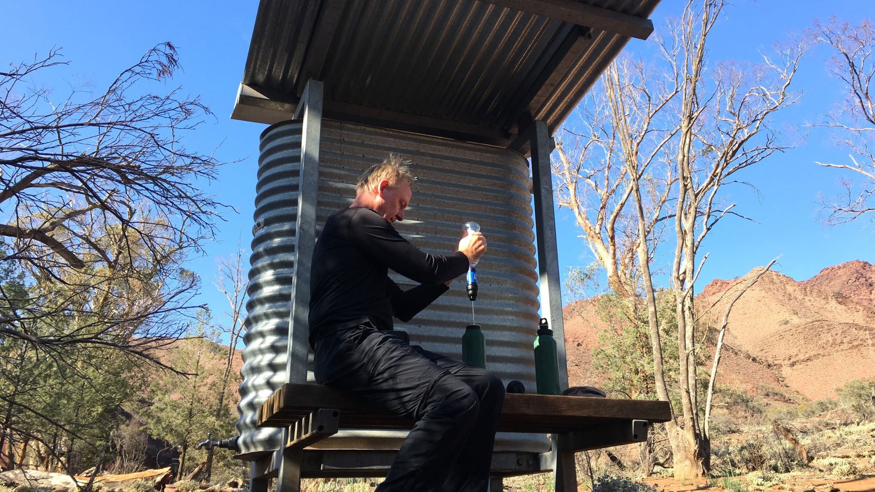
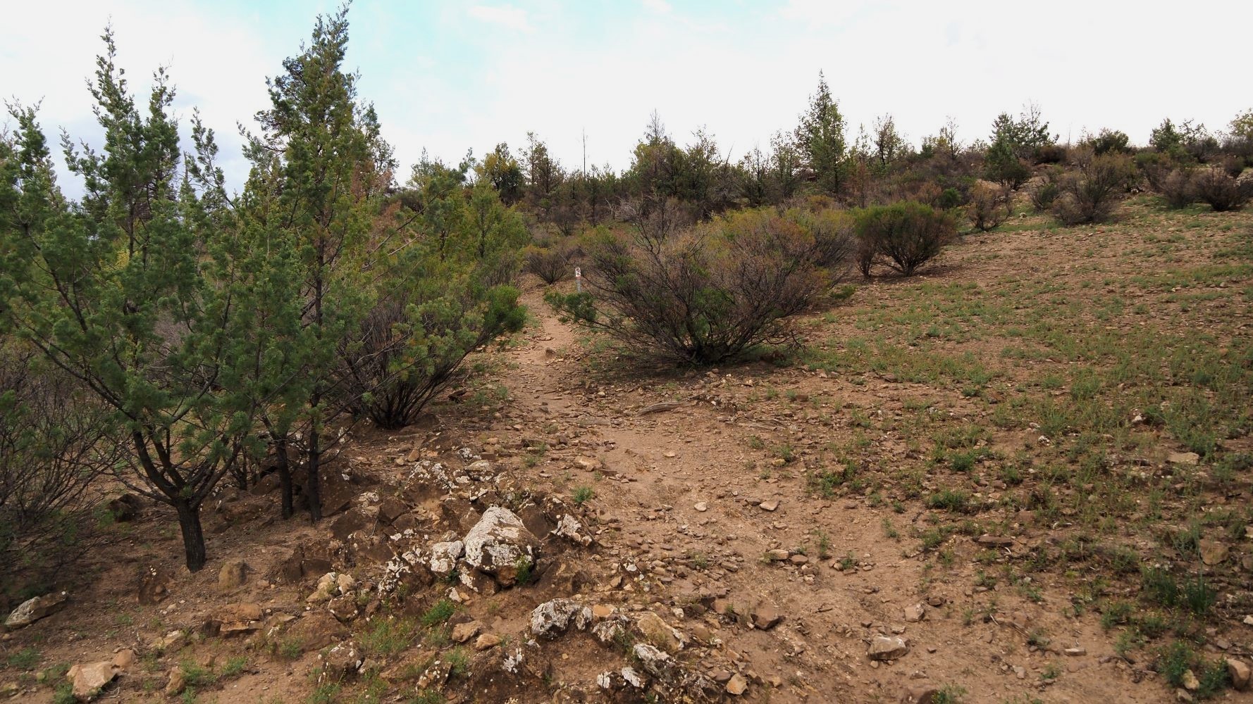
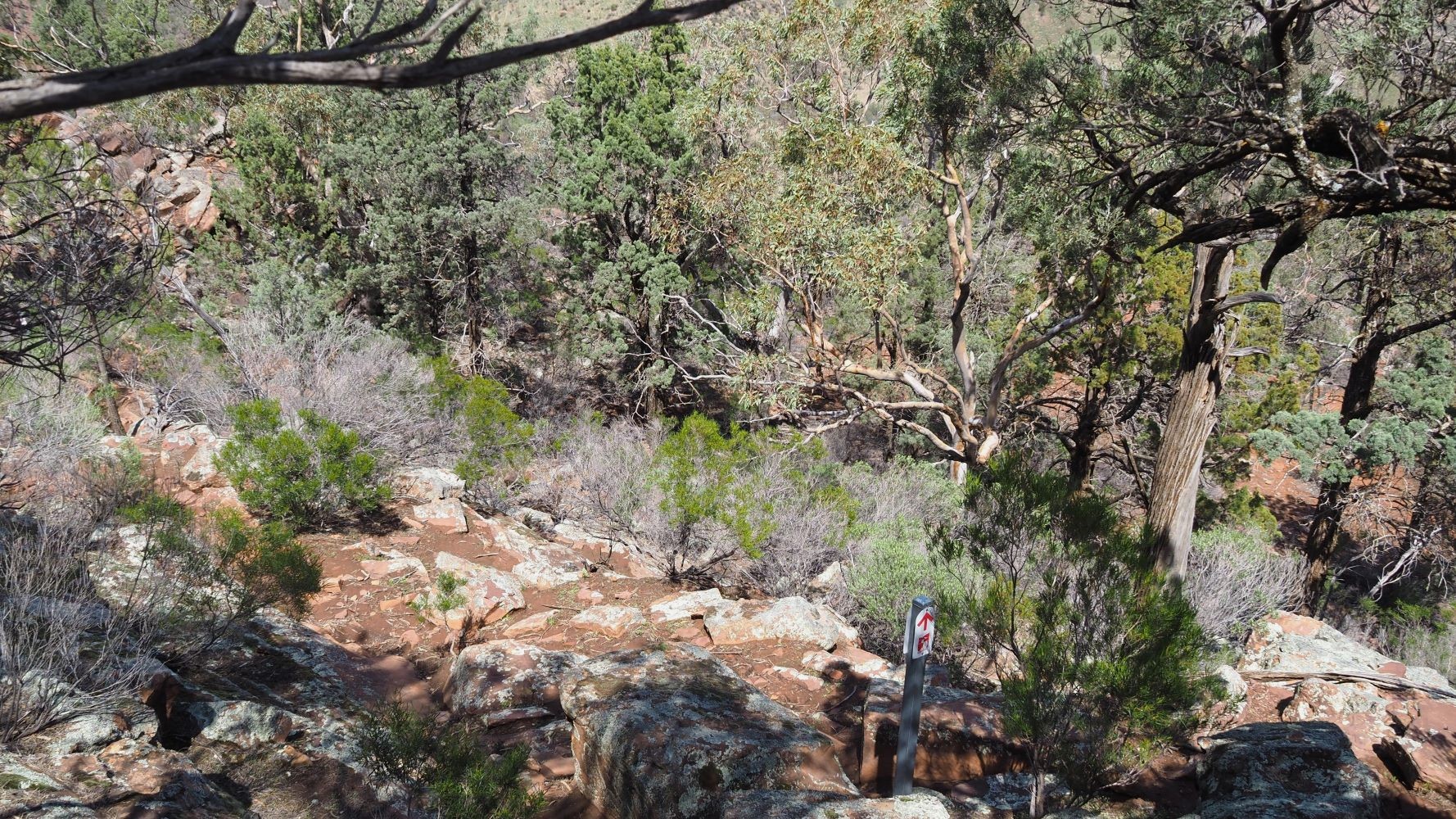
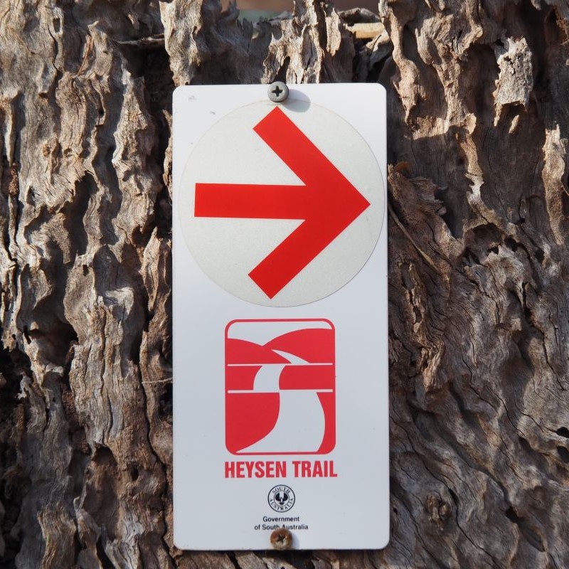
Make sure you have the navigation of the trail covered. There are trail markers but you would be foolish to rely on them. The method of navigation will depend on the individual. I do not carry paper maps at all. Instead I have a rugged Android phone (Nokia XR20 currently), a backup powerbank, and use a mapping app called Locus Maps 4. With the latest offline GPX file of the trail downloaded, from this Heysen Trail website, I know exactly where I am and where I want to go. With an offline map file you do not need mobile phone reception. The GPS in your phone will locate you without it. I also use the Locus Maps Live Tracking feature to keep my family informed of my location (only works when in mobile phone reception). I did carry a Silva compass just in case though.
I had previously completed a three day Remote First Aid course with St Johns. If things really go wrong, I have an emergency Personal Location Beacon to alert Emergency Services. More information at The Australian Maritime Safety Authority
I caught the bus from Adelaide and got off at Parachilna. It was a long but fun “milk run” through the South Australian countryside. There was only one place to stay when I arrived, The Prairie Hotel. They had closed the campgrounds as we were in the Covid 19 pandemic, so I was in an expensive, full board room in the hotel. Nothing like going down in style.
While I did the walk, I was sending updates to family and friends, when I had a signal. The update below is pretty much a copy of those emails. I did record my GPS route using Locus Maps but I managed to later lose it, so the Google Map route above is taken from the Friends of the Heysen Trail website.
Please keep in mind that I am writing this update almost three years after the event. Please just take it as general information and hopefully entertainment. If you are going to tackle the trail, do your own research to make sure you are properly prepared.
There is a vast amount of trail information on the website of The Friends of the Heysen Trail.
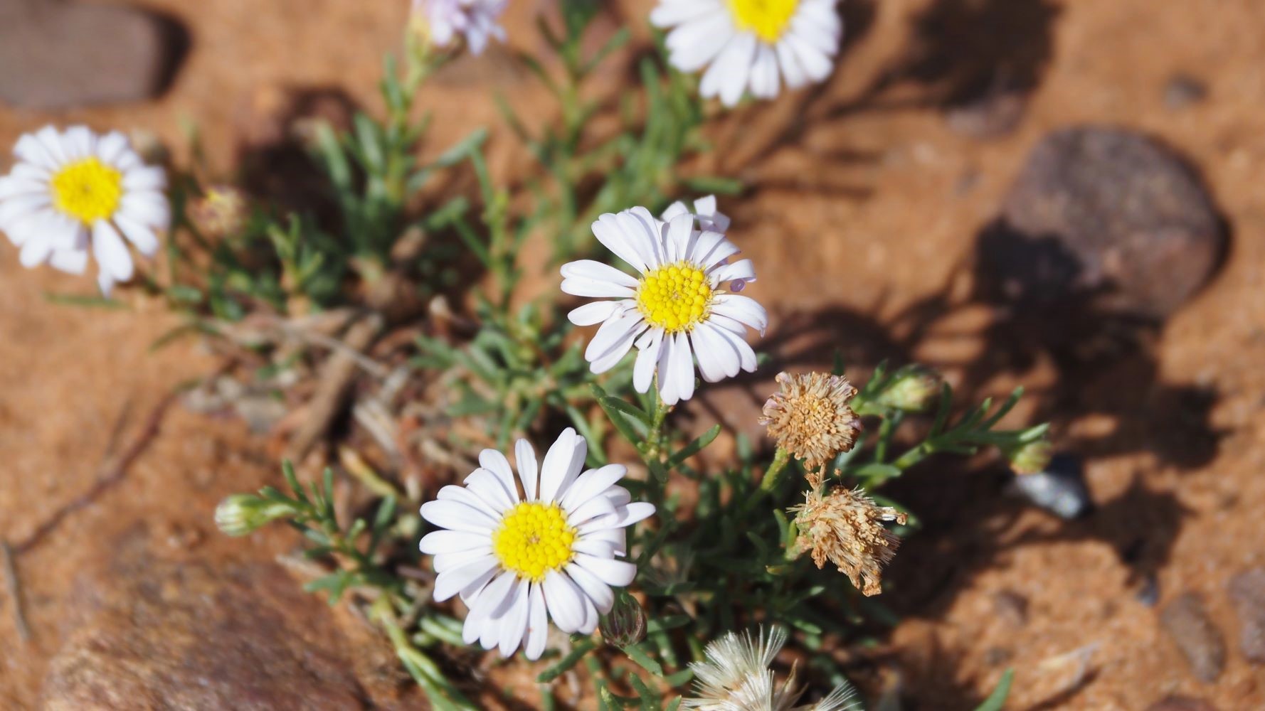
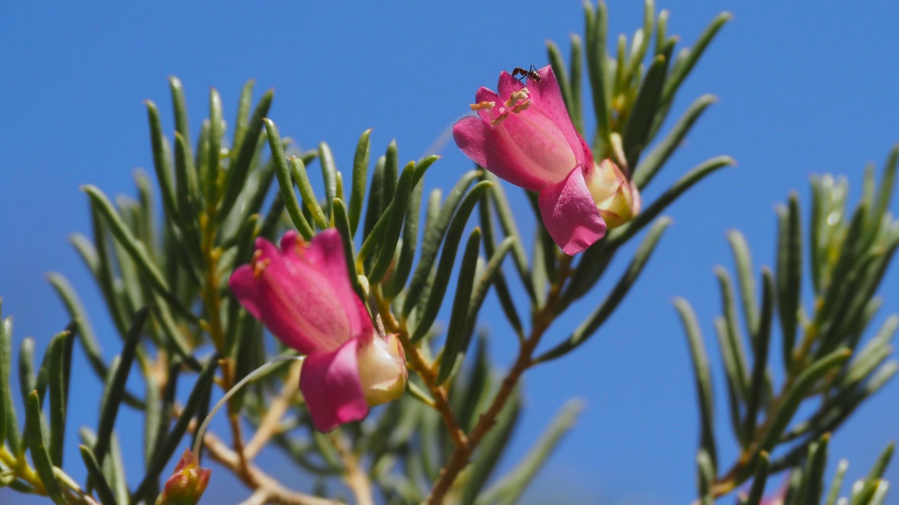
The identification of the flora and fauna is not me. Thanks to my more knowledgeable help.
Today I walked 12km along the Parachilna Gorge Road from the Prairie Hotel to the start of the trail. It was a good day. The new pack feels fine. I’m surprised how well I can carry my 20kg (about 8kg too much). New boots are good too. No blisters yet. Weather was cold but clear. Had a wonderful westerly tail wind.
I’m on my own in the camp. The camp is 500 metres in from the road so no vehicle access. Rainwater in the tank but I’ll still filter it. Dried soup mix that has been soaking and packet soup for dinner. No mobile service and I’m too wary about battery charging anyway. Must get a book next town.
I didn’t really know how long this was going to last. Seeing the Flinders was my main goal and I was just going to see how it played out after that.
Well the first real days walking is done. It was a classic first day of a hike. Too unfit, too much stuff. Only 18km but it took me 6 hours. A lot of resting for the first 12km, that was mainly uphill.
Early on I met another solo Queensland walker who was just finishing south to north in 53 days. It surprised me that he said the loneliness was the hardest part, especially around Adelaide. Just not many people doing the trail. I do remember he said he lost a lot of weight. He was looking pretty trail hardened by the time I saw him. His pack was 12kg which stuck in my mind.
He and another fellow right behind were the only ones I saw today. As it turned out that was a rush, there were very few people overall.
There are people in the public campground tonight. I was supposed to pay for the campsite, but you have to do it online, and there was no reception available. So I just chose a site. As it turned out, it was booked already and I needed to move. I found a larger area away from the main sites and camped there fine.
Today I wanted to just buy lots of new lightweight gear. But now that the pain has dissipated I realise I need to wait and see how much I can gain from some proper fitness.
27km today. I’ve had dinner and it’s 7pm and I am ready to sleep.
Dinner was a dried vegetable soup with pasta and dumplings. I’m too tired to eat much. I guess my appetite will return when I’m less exhausted.
I was walking for about 8 hours today. I didn’t see anyone on the trail today. Just a few campers when I went through the Trezona public campground.
Hopefully I’ll make it to Wilpena Pound tomorrow- 22km. I didn’t bring enough sweet stuff. An ice cream will be fantastic. A hot shower would be a good idea too.
22km today. It was tough but not as much as the previous day. Around lunchtime I met a young woman called Gemma. She was a classic personality and we chatted for about half an hour. She was a huge help with answering all sorts of questions. She even gave me some special tape to help with blisters. She started at Burra and will finish in a couple of days. Gemma started out hating it and wanted to quit but now loves it. Convinced me.
I’m going to have a rest day at Wilpena Pound tomorrow and organise a few things. Plus it’s going to rain. The weather has been perfect otherwise. Clear skies and top of 20 degrees maybe and quite cool at night.
An eastern Ringneck, also called Mallee Ringneck. It is interesting how the animals are less skittish as you near a more touristy area like Wilpena Pound.
Day 4 was a rest day at Wilpena Pound.
I had 33km to cover today. It was about 20 degrees and sunny. I carried 4.5 litres of water today with a capacity of 6 and drank 3. And of course you always want some spare in case the night’s campsite is dry. It was a long day with a bit over 9 hours walking on the trail.
A few people had asked about animals. I haven’t seen that many. It’s nice and green now but the area has been dry and populations have been down apparently. The bad first – feral goats, rabbits and I’m sure I heard cats one night near the start. The good – no cows or sheep so far (I’m on a mix of private land and national park). Plus emus and kangaroos, including Red Kangaroos and I’m sure I saw an endangered Yellow Tail Wallaby today. The lizards were out for the first time today, including old mate Stumpy Tail, below. No snakes but its warming up for the next couple of days, so I will be on the lookout. No dingoes seen or heard though I did see dog tracks.
Today I walked across the Pound and beyond. I’m now in a nice campsite with good rainwater, and a drop toilet and it’s just me and the insects chirping away. No vehicle access. Full moon tonight. I think I just heard an emu go by? Something making grunting noises.
I had stopped filtering my water by now. The water tanks were quite full and the water looked fine. I didn’t have any problems through the trip.
Much of today followed creek beds. Creeks are tricky. You have to contend with the soft sand, rocks and the meandering direction but mainly the need to be on the ball with navigation. The signs are often set right back to avoid flooding and hence are easy to miss.
I’m staying at Mayo Hut on Wonaka Station, built in 1899. It’s good of the owners to let us pass through. A couple of station hands called by the hut looking for sheep. They confirmed it had been very dry and only greened up in the last 2 months. I should have the place to myself. Planning to get going early tomorrow, with a 31 degree forecast.
Continued……..
Darwin to Nullarbour to Adelaide, Australia
August 2020 – Yamaha Tenere 700
Hiking The Heysen Trail, Mayo Hut to Quorn
Week 2 – October 2020